Solgt/fjernet
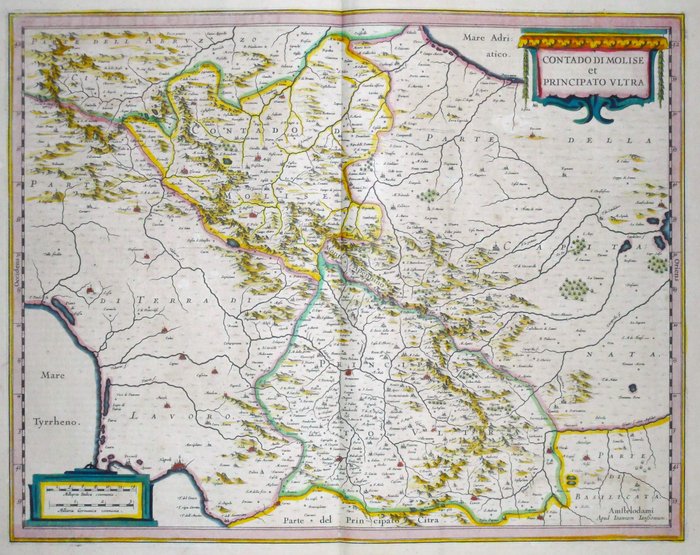
Italien - Molise Campania; Hondius / Janssonius - Contado di Molise et Principato Ultra - 1638
Find lignende annoncer
Relaterede produkter
Relaterede produkter
Relaterede produkter
Relaterede produkter
Relaterede produkter
Relaterede produkter
Relaterede produkter
Relaterede produkter
Relaterede produkter
Relaterede produkter
Relaterede produkter
Relaterede produkter
Relaterede produkter
![Europa - [LOT of 2] - Italien / Sicilien...](/placeholder.png)


