Belgien - Antwerpen; W Baudartius - Antwerpen - 1615
Auktion

Belgien - Antwerpen; W Baudartius - Antwerpen - 1615

refurbed
27 EUR

Detaljer

Dato:
13/09/2024

Beskrivelse

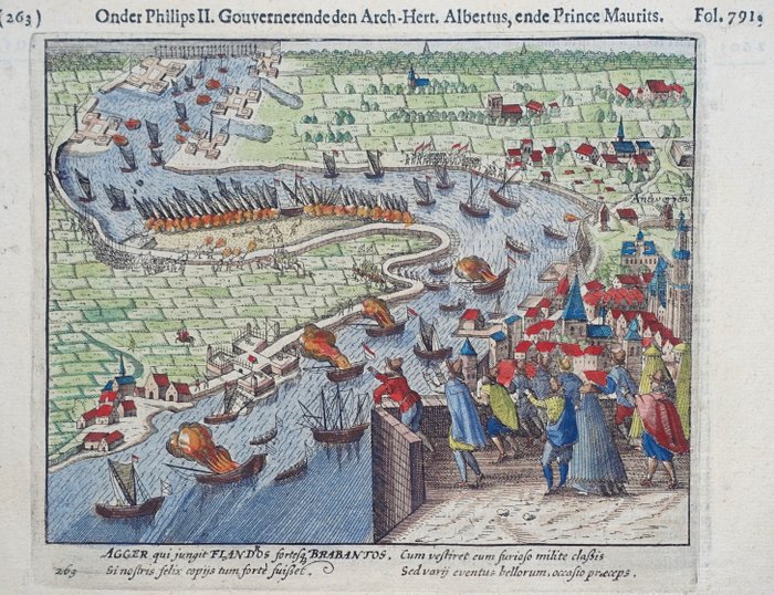
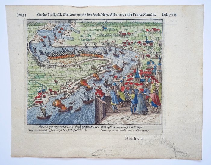
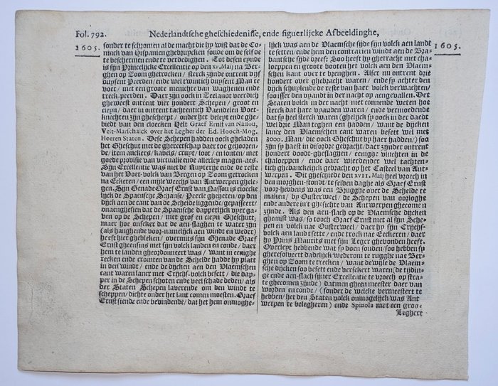
Brede marginer. Verso: hollandsk tekst. Udgivet i 1615 i Amsterdam i "De Nassausche Wars", Willem Baudartius.

Antwerp Siege Map 1615 Baudartius

This 1615 map by Willem Baudartius shows the siege of Antwerp, a major port city in the Netherlands. The map is detailed with descriptions of battle and seafaring actions from this notable time period. The map shows the siege line and the Dutch boats that were deployed. The buildings in the city are also depicted along with a portion of the landscape outside the city walls. The map has some text which is in the Dutch Language and which refers to battle lines and other key details. This map comes from a volume titled “De Nassausche Wars”, which tells the history of the War of the Eighty Years. The map is a valuable artifact of the city’s military history, providing a glimpse into how Antwerp was attacked. The map is a very good example of cartography and visual art used to showcase the tactical information of the war in Europe in the early 1600s.

KORT
Antal: 1
Relaterede produkterkoral Icon

Relaterede produkter