World - Verdensomspændende have oceaner øer; Van Keulen family - The Van Keulen Cartography Amsterdam 1680-1885 - 1680-1885
Auktion

World - Verdensomspændende have oceaner øer; Van Keulen family - The Van Keulen Cartography Amsterdam 1680-1885 - 1680-1885

refurbed
54 EUR

Detaljer

Dato:
13/09/2024

Beskrivelse

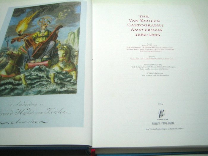
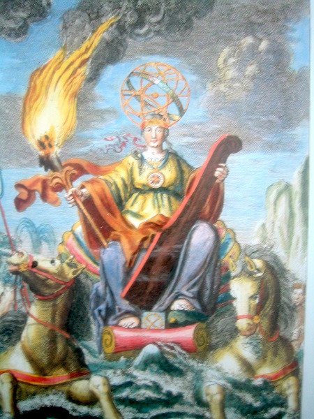
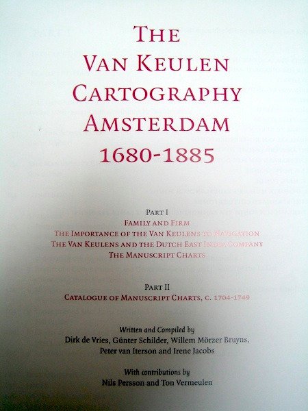
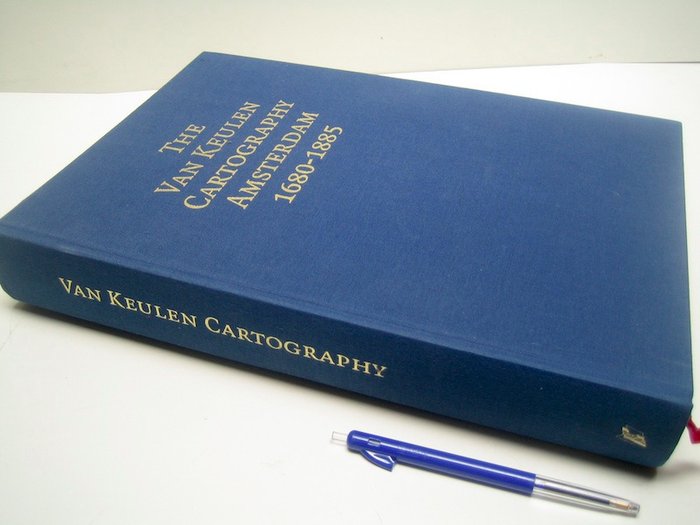
Van Keulen Cartography Amsterdam 1680-1885 - skrevet og kompileret af Dirk de Vries, Günter Schilder, Willem Mörzer Bruyns, Peter van Iterson og Irene Jacobs - med bidrag af: Nils Persson og Ton Vermeulen - The Van Keulen Cartography Research Project / Alphen a /d Rijn, Canaletto/Repro-Holland, 2005 - 633 pp + løs brochure "Index Sheets" 18 pp - hardback (linned) med 2 læsebånd - 35 x 25 x 5 cm - vægt: 4,5 (!) kg. Ude i stand (lille navn på blank forside). En meget komplet karto-bibliografi: Del I: Familie og firma. Van Keulens betydning for navigation. Van Keulens og det hollandske ostindiske kompagni. Manuskriptskemaerne. Del II: Katalog over manuskriptkort, C. 1704-1749. Komplet med bibliografi, stikordsregister, curricula vita og en løs brochure med stikordsark

Læs mere

The Van Keulen Cartography Amsterdam 1680-1885 Book

This comprehensive book delves into the world of the Van Keulen family and their renowned cartography in Amsterdam. Covering the period between 1680 and 1885, this work meticulously explores the influence of the Van Keulens on navigation, their connection to the Dutch East India Company, and their manuscript charts. The book is divided into two parts: Part I focuses on the family history, their contributions to navigation, and the significance of their work for the Dutch East India Company. It also includes a catalogue of manuscript charts. Part II, a catalogue of manuscript charts from 1704-1749, provides a rich and detailed overview of their cartographic legacy. The work is a comprehensive reference for anyone interested in the history of cartography, particularly in the Netherlands during the golden age of exploration and trade. This hardback edition is in near mint condition. The book is substantial, weighing in at 4.5kg and measuring 35x25x5cm, features two ribbon bookmarks for easy page-turning. It also includes an additional brochure containing 'Index Sheets'.

Papir
linned
BOG
Antal: 1
Størrelse: 35 x 25 x 5 cm
Relaterede produkterkoral Icon

Relaterede produkter