E Reclus - L'Afrique Septentrionale - Nouvelle Géographie Universelle - 1886
Auktion

E Reclus - L'Afrique Septentrionale - Nouvelle Géographie Universelle - 1886

refurbed
15 EUR

Detaljer

Dato:
13/09/2024
Materiale:
Papir
Størrelse:
26,5 x 19,5 cm
Farve:
Beige

Beskrivelse

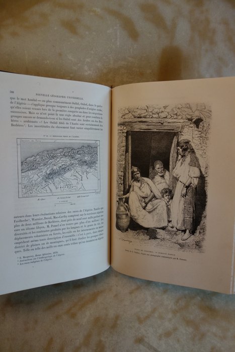
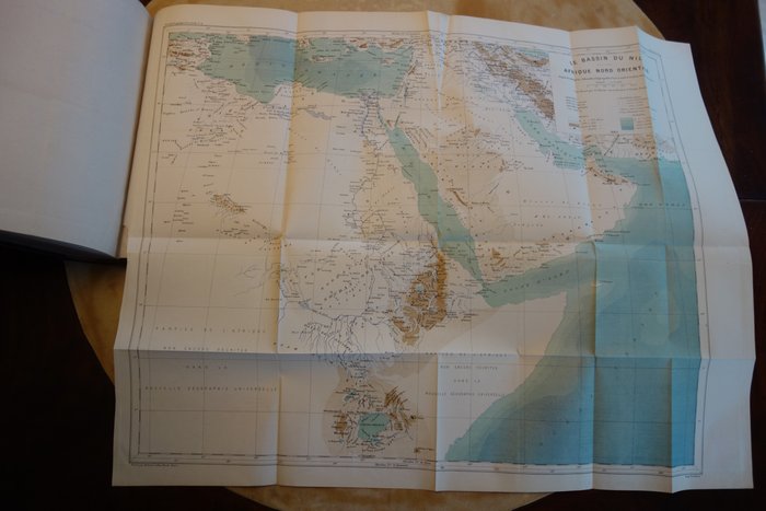
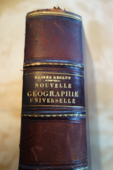
New Universal Geography - The Earth and Men af Elisée Reclus - Nordafrika - Anden del: Tripolitanien, Tunesien, Algeriet, Marokko, Sahara indeholdende 4 separate farvekort inklusive et meget stort foldekort i slutningen af bogen: Nilbassinet - Nordøstafrika (se billeder), 16 kort indskudt i teksten og 83 Udsigter eller typer graveret på træ - Paris, Librairie Hachette et Cie, 1886 - Halvbasanbind, ribbet rygsøjleformende æsker, med titel, forfatternavn og bindnummer i guld, marmorerede bagplader og endepapirer, 915 sider, format: 26,5 x 19,5 cm - Geografisk ordliste, Alfabetisk indeks, Korttabel, Tabel over Graveringer, Indholdsfortegnelse: se billeder - Rigtig god stand -

Læs mere

L'Afrique Septentrionale - New Universal Geography - Nordafrika

This is the second volume of the 1886 "New Universal Geography" series by Elisée Reclus focusing on North Africa, specifically Tripolitania, Tunisia, Algeria, Morocco, and the Sahara. The book includes 4 separate color maps, one large folding map at the end of the book detailing the Nile Basin - Northeast Africa, 16 maps included in the text and 83 engraved views/types. The book is in very good condition. Its hardback binding with spine gilt features the title, author, and volume number. It also includes marbled endpapers and 915 pages. Dimensions are: 26.5 x 19.5 cm. Includes a geographical glossary, alphabetic index, map table, table of engravings, and a table of contents.

Papir
BOG
Beige
Antal: 1
Størrelse: 26,5 x 19,5 cm
Relaterede produkterkoral Icon

Relaterede produkter