

Auction
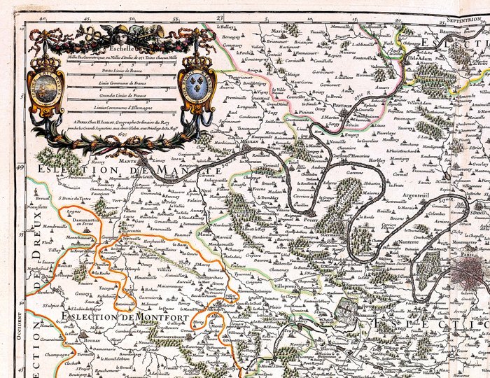
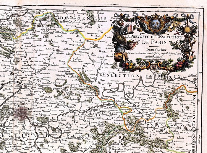
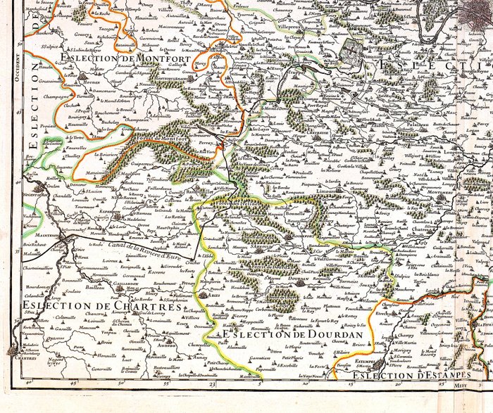
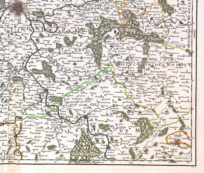
Map of Paris and Ile-de-France from 1681-1700

2 EUR
Details
Date:
15/11/2024
Description from the seller
Map of Paris and Ile-de-France from 1681-1700
Mål: 45,5 x 63,5 cm. (på ark: 54 x 76,5 cm). Stand: god (folder, afrivning til under- og overkant langs midterfolden) Verso: blank. Kortmager: Jaillot Forlag: H. Jaillot. Paris. Bemærk: fra "L'Atlas Francois..."
KORT
Amount: 1
mål: 45,5 x 63,5 cm
Related products
Related products
Related products
Related products
Related products
Related products
Related products
Related products
Related products
Related products
Related products
Related products
