Holland - Holland, West Friesland og Utrecht; Joan Blaeu - Toonneel der Steden van Holland, Westvriesland, Utrecht - 1621-1650
Auction

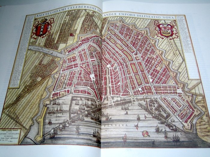
Amsterdam map from the 17th century

catawiki
29 EUR

Details

Date:
14/11/2024
Material:
Paper
Size:
48 x 33 cm
Farve:
Brown

Description from the seller

Amsterdam map from the 17th century

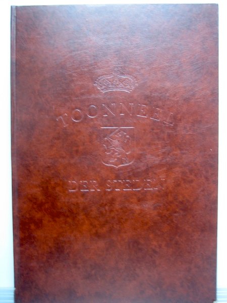
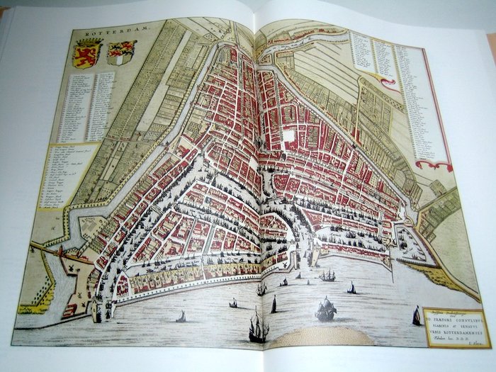
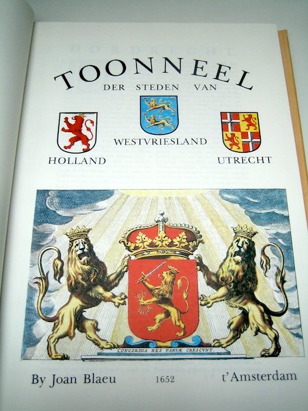
"Show of the Cities of Holland Westvriesland Utrecht. Af Joan Blaeu, t'Amsterdam, 1652." - Faksimileudgave: Foresta, 1982 - upagineret - imiteret læderbind - 48 x 33 cm. Stand: meget god. god stand. n.a. I.v.m. et kort ophold i udlandet, forsendelse efter 23. november. (i alt: 1 vægt: 3 kg)

Read more

An old map of Amsterdam from the 17th century, showing the city layout and harbor areas. The map is a work of art in itself and provides a fascinating insight into the city's history and development.

Paper
KORT
Brown
Amount: 1
Size: 48 x 33 cm
Related productskoral Icon

Related products

catawiki