Danmarkskort fra 16. århundred

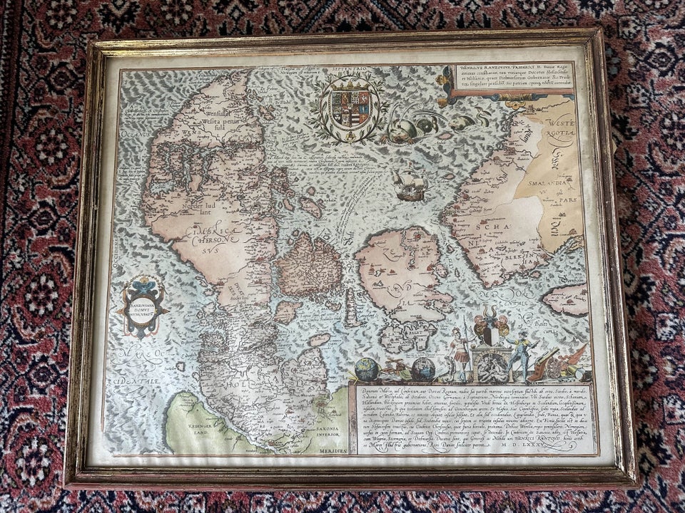
Antique Denmark map from 1588 by Marcus Jordan

dba
3.500 DKK
2800 Kongens Lyngby

Details

Date:
30/09/2024
Where:
2800 Kongens Lyngby
Type:
Danmarkskort fra 16. århundred
Material:
Paper
Farve:
Beige, Brown

Description from the seller

Danmarkskort fra 16. århundred

Danmarkskort fra 16. århundred Marcus Jordan - Danmarkskort, Kobberstik Ældste bevarede trykte generalkort over Danmark og dansk oprindelse, tegnet af Jordan i det 16. århundred, på forandledning af Hertugdømmernes statholder, Grev Heinrich Rantzau, og gengivet som håndkoloreret kobberstik i fjerde bind af Braun & Hogenbergs 5-bindsværk 'Civitates orbis terrarum'. Kan ses i Lyngby efter aftale - eller leveres på Sjælland mod forudbetaling og kørselsomk. En af samme serie er i skrivende stund igang med at blive solgt på BRK for over 8.000, se billede. Se eventuelt mine andre annoncer for flere kort.

Read more

Rare and beautiful hand-coloured copperplate engraving of a Denmark map from 1588, created by Marcus Jordan. This map is part of Braun & Hogenberg's 'Civitates orbis terrarum' and shows Denmark and the surrounding areas with great detail. A unique historical item for collectors and enthusiasts of antique maps.

Paper
KORT
Beige
Brown
Amount: 1
Related productskoral Icon

Related products