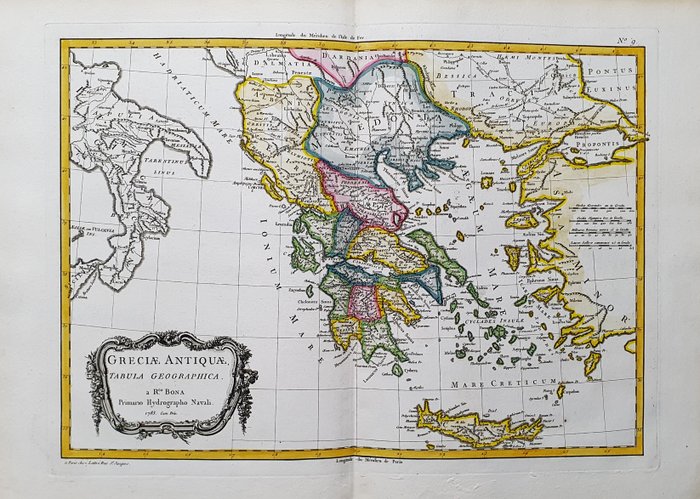
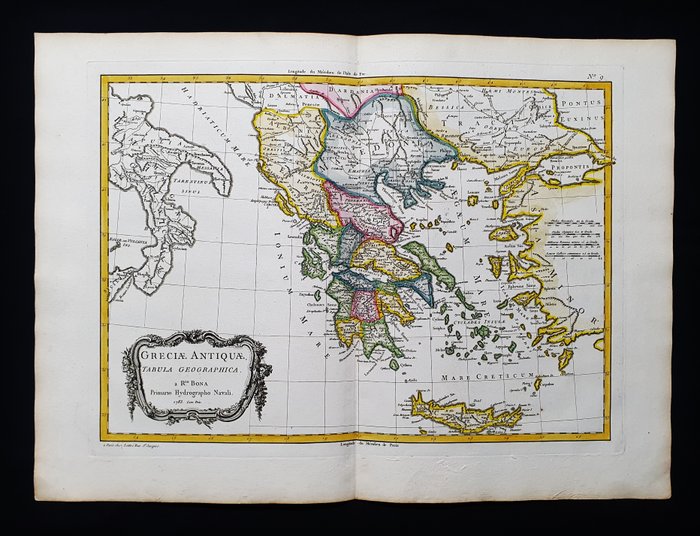
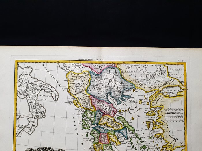
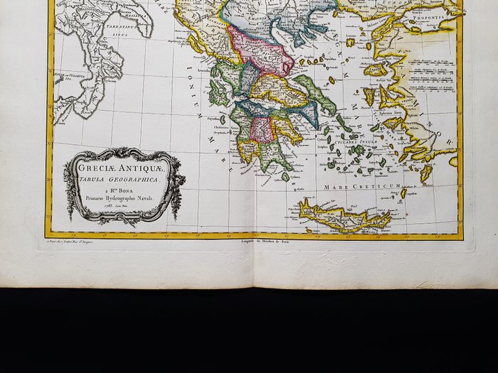
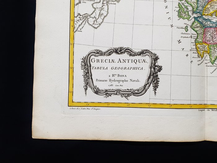
Europa - Grækenland / Balkan / Kreta / Athen / Makedonien; G. Rizzi Zannoni / Janvier / Lattre - Greciae Antiquae Tabula Geographica - 1761-1780
Auction

Antique map of Greece

catawiki
26 EUR

Details

Name:
Europa - Grækenland / Balkan / Kreta / Athen / Makedonien; G. Rizzi Zannoni / Janvier / Lattre - Greciae Antiquae Tabula Geographica - 1761-1780
Date:
21/11/2024
Material:
Paper
Size:
55 x 40 cm
Farve:
White

Description from the seller

Antique map of Greece

Dette geografiske kort er en original foliokobbergravering fra 1770. Dette er udgaven af GIO RIZZI ZANNONI, LATTRE, JANVIER & BONNE, udgivet i 1770 i hans værk med titlen: "Atlas moderni ou collection de cartes sur toutes les parties du globe terrestrial par plusieurs auteurs........ Paris , 1770" Smukt kort udgivet i PARIS, med fremragende farvelægning, brede marginer og geografisk godt detaljeret på hvert punkt. Tilstand: Tilstanden er meget god, som vist på billederne. Kortets overordnede mål er: 55 x 40 cm

Read more

This geographic map is an original folio copper engraving from 1770. Beautiful map published in PARIS, with excellent coloring, wide margins and geographically well detailed at every point. Condition: The condition is very good, as shown in the pictures. The overall dimensions of the map are: 55 x 40 cm

Paper
KORT
White
Amount: 1
Size: 55 x 40 cm
Related productskoral Icon

Related products

catawiki