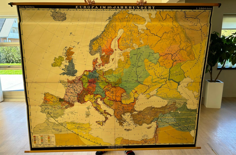
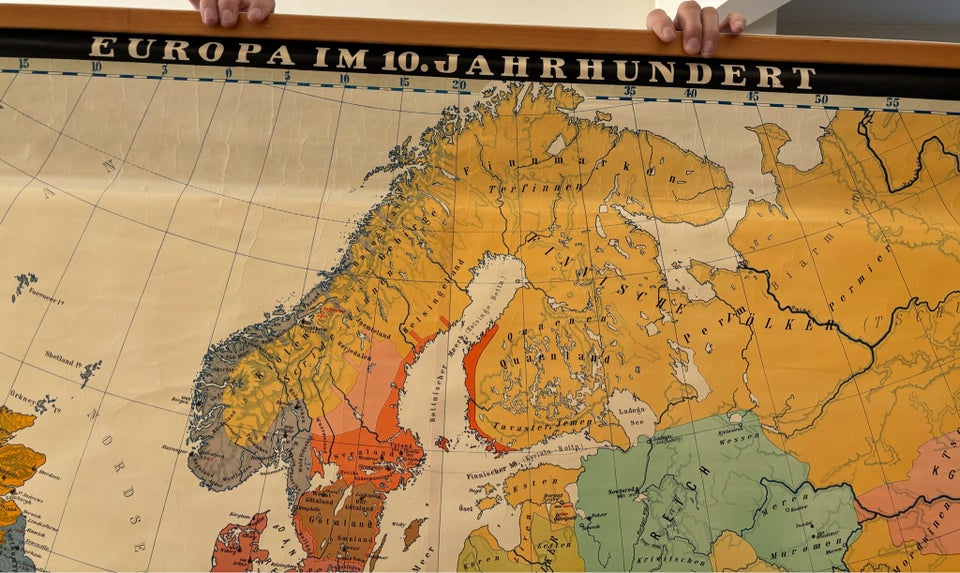
Antique school map: Europe in the 10th century

200 DKK
2650 Hvidovre
Details
Date:
05/10/2024
Where:
2650 Hvidovre
Type:
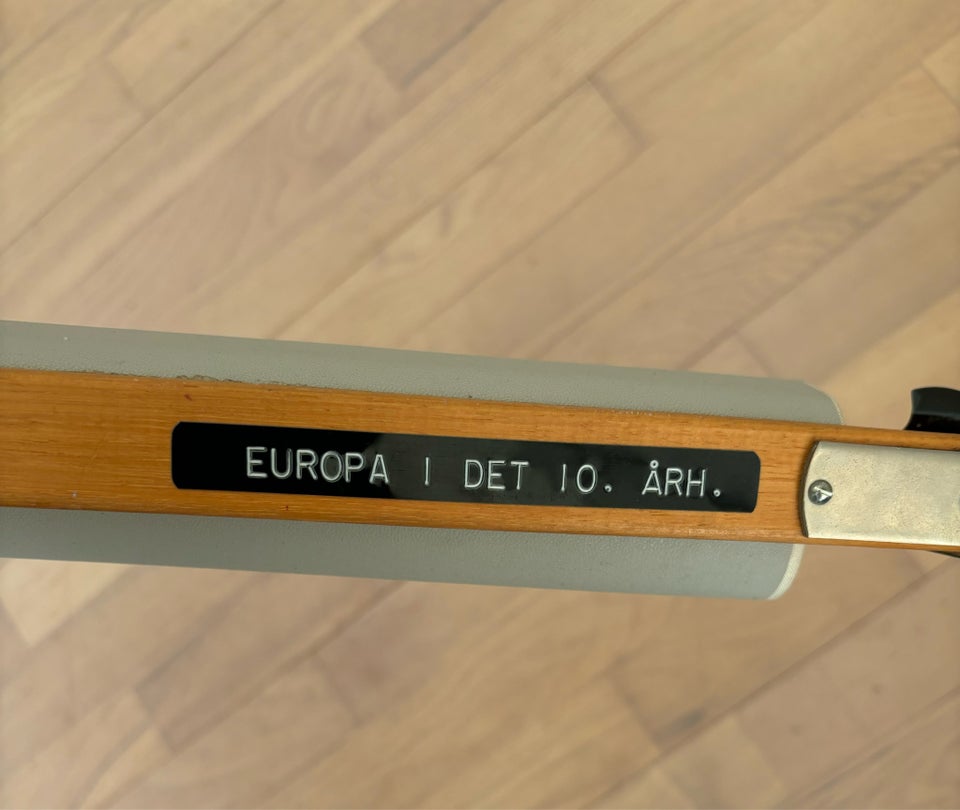
Europa i det 10 århundrede
Material:
Paper
Farve:
Red, Blue, Green, Yellow, Orange
Description from the seller
Landkort, Europa i det 10
Landkort, Europa i det 10 århundrede Landkort - Europa i det 10 århundrede Mål: H: 160 cm B: 194 cm Hentes i Hvidovre Pris 200kr
Paper
landkort
Red
Blue
Green
Yellow
Orange
Amount: 1
mål: 160 x 194 cm
Related products
Related products
Related products
Related products
Related products
Related products
Related products
Related products
Related products
Related products
Related products
Related products

