Auction
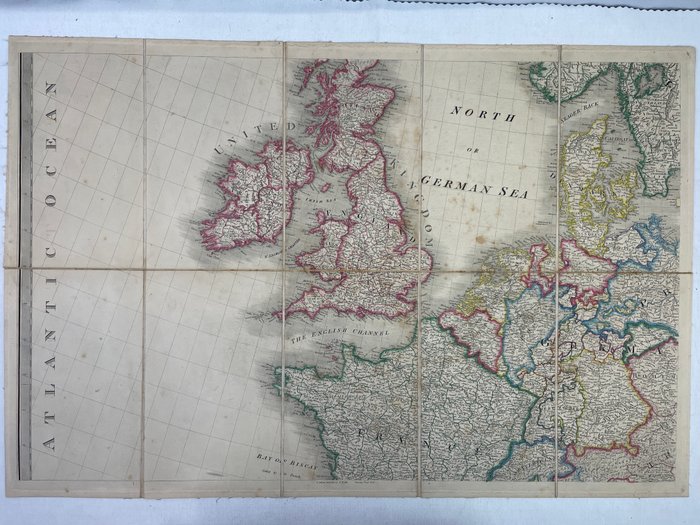
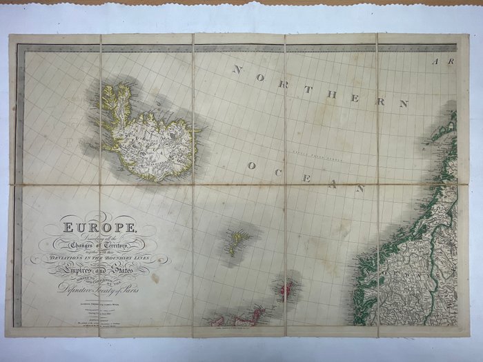
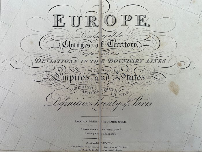
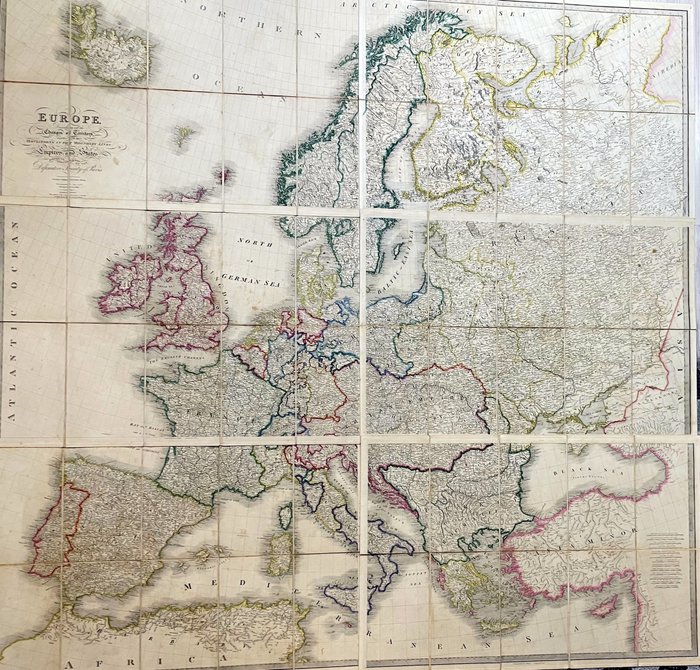
Europe map from 1851 by James Wyld

81 EUR
Details
Name:
Europa - Europa; James Wyld - 6 Maps of Europe in Case from 1851 - 1851-1860
Date:
21/11/2024
Material:
Paper
Farve:
Brown
Description from the seller
Europe map from 1851 by James Wyld
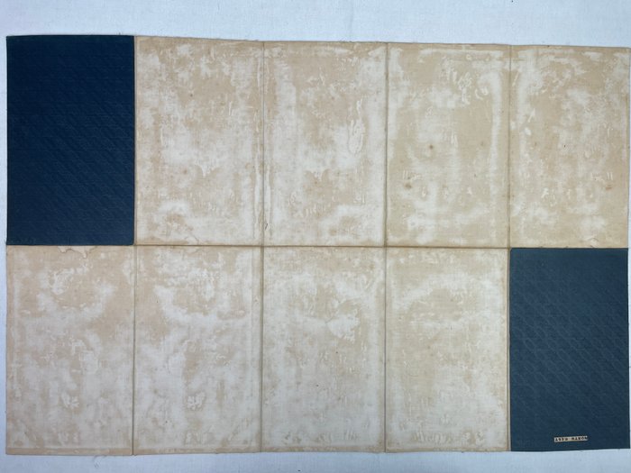
Kortets samlede størrelse 158 x 153 cm. Individuel størrelse på et kort 79 x 51 cm - Hvert af de 6 kort består af 10 segmenter. Kortene er i den originale slipcase, som viser nogle tegn på slid og en smule pletter. Original titel: Europa, der beskriver alle Territoriets Forandringer tillige med deres Afvigelser i Grænselinierne. London, udgivet af James Wyld, 1851. Kort rene og uden tårer eller indtastninger. Lidt brunfarvet stedvis på afbildningssiden. Mørket med brune pletter på bagsiden.
Paper
KORT
Brown
Amount: 1
mål: 79 x 51 cm
Related products
Related products
Related products
Related products
Related products
Related products
Related products
Related products
Related products
Related products
Related products
Related products

