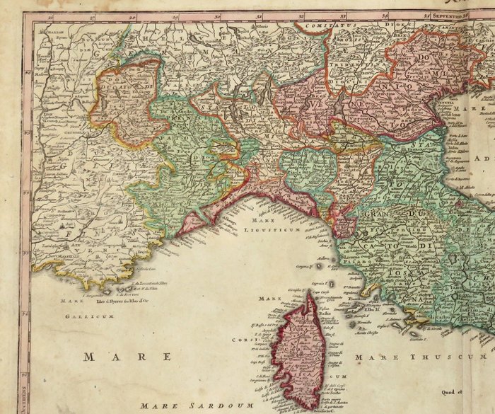
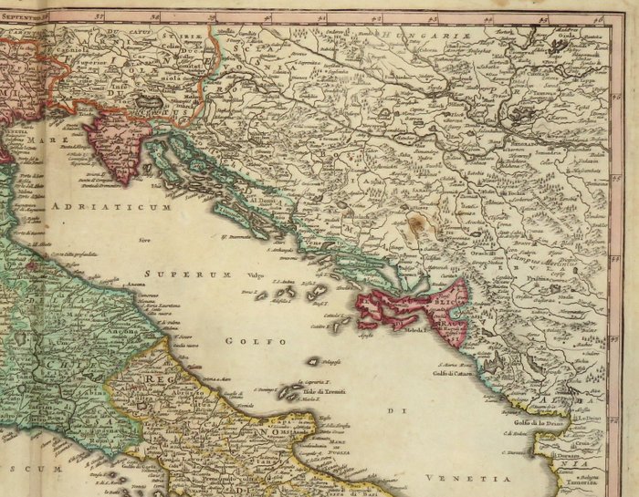
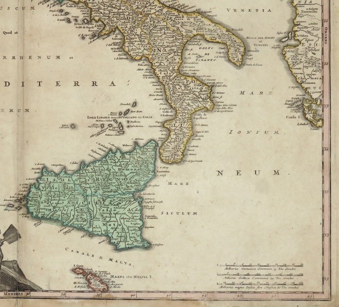
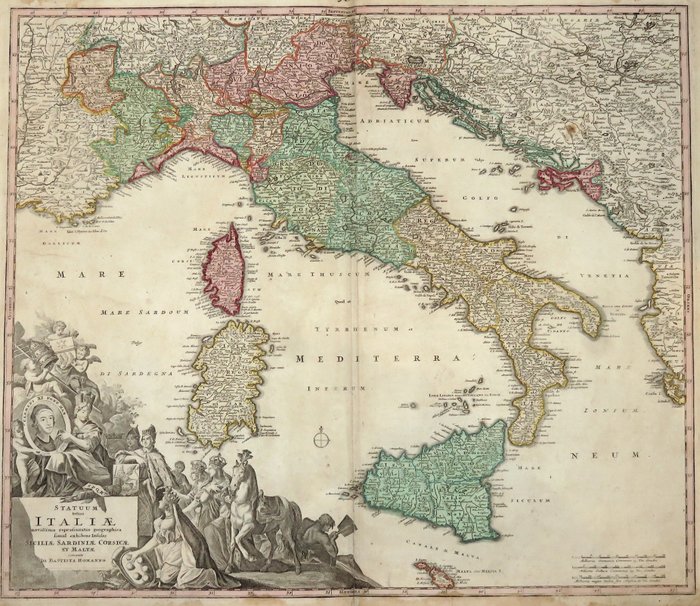
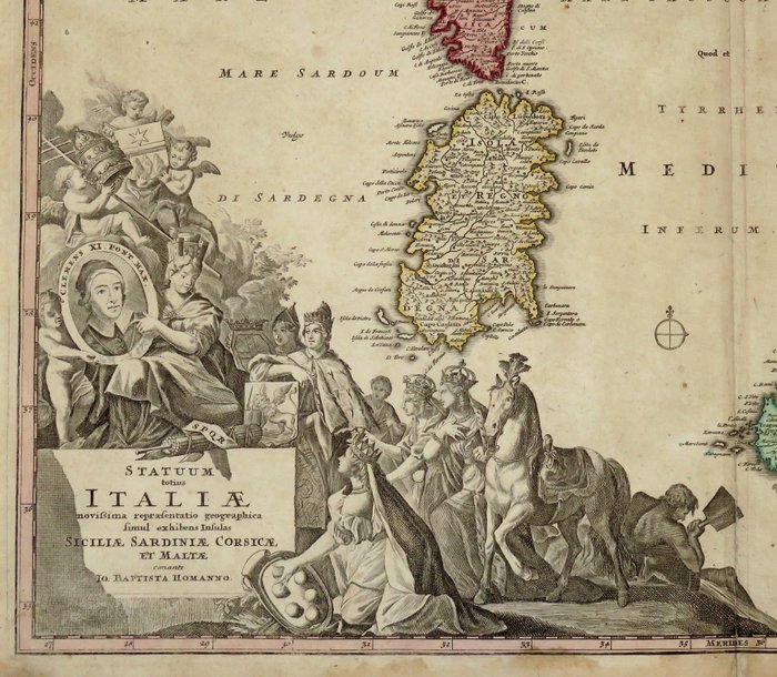
Europa - Italien; J. B. Homann - Statuum totius Italiae novissima repraesentatio geographica simul exsibens insulas Siciliae - 1707 (SJÆLDEN FØRSTE UDGAVE)
Auction

Map of Italy from 1707

catawiki
1 EUR

Details

Date:
02/11/2024

Description from the seller

Map of Italy from 1707

Mål: 49 x 56,5 cm. (på ark: 52,2 x 61 cm.) Stand: meget god (små pletter på kanterne) Verso: blank. Kortmager og udgiver: J.B. Homann. Nürnberg Bemærk: fra "Atlas Novus Terrarum" Johann Baptist Homann (20. marts 1664 – 1. juli 1724) var en tysk geograf og kartograf, som også lavede kort over Amerika. Liv Homann blev født i Oberkammlach nær Kammlach i kurfyrsten i Bayern. Selvom han var uddannet på en jesuiterskole og forberedte sig på en kirkelig karriere, konverterede han til sidst til protestantismen og arbejdede fra 1687 som civilretsnotar i Nürnberg. Han gik hurtigt over til gravering og kartografi; i 1702 grundlagde han sit eget Forlag. Homann opnåede ry som en førende tysk kartograf og blev i 1715 udnævnt til kejserlig geograf af den hellige romerske kejser Karl VI. At give sådanne privilegier til enkeltpersoner var en ekstra ret, som den hellige romerske kejser nød. Samme år blev han også udnævnt til medlem af det preussiske videnskabsakademi i Berlin. Af særlig betydning for kartografien var de kejserlige trykkeriprivilegier (latin: privilegia impressoria). Disse beskyttede i en periode forfatterne inden for alle videnskabelige områder såsom trykkerier, kobberstikkere, kortmagere og forlag. De var også meget vigtige som en anbefaling til potentielle kunder. I 1716 udgav Homann sit mesterværk Grosser Atlas ueber die ganze Welt (Grand Atlas of all the World). Adskillige kort blev udarbejdet i samarbejde med graveren Christoph Weigel den Ældre, som også udgav Siebmachers Wappenbuch. Homann døde i Nürnberg i 1724.

Read more

A historical map of Italy from 1707, published by J.B. Homann. The map shows the various states and regions of Italy, including Sardinia and Corsica. It is part of J.B. Homann's ”Atlas Novus Terrarum” and illustrates the geographical knowledge of the 18th century.

KORT
Amount: 1
mål: 49 x 56,5 cm
Related productskoral Icon

Related products

catawiki