Auction
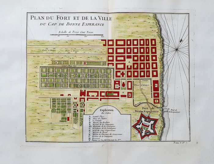
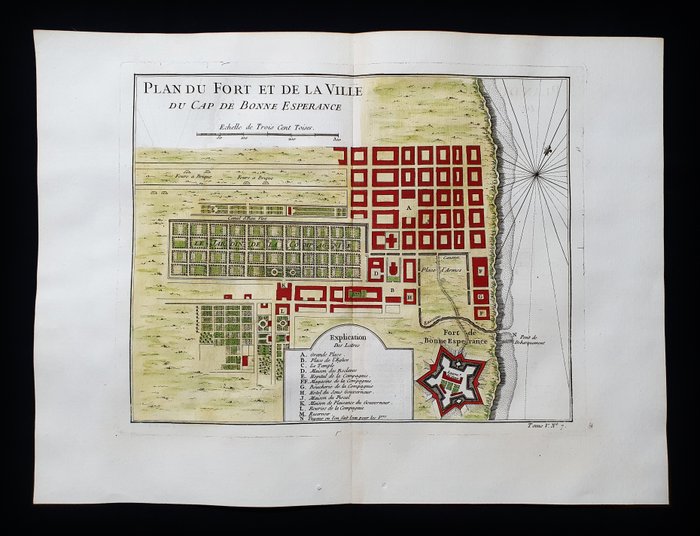
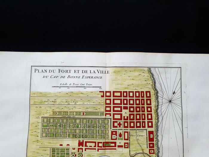
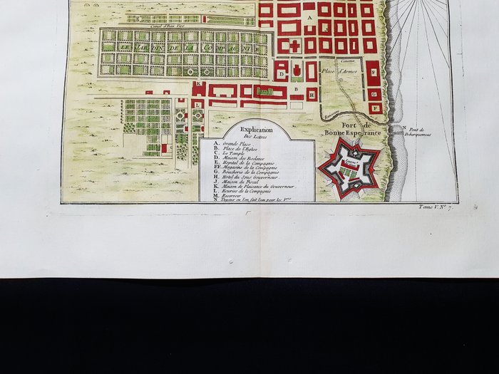
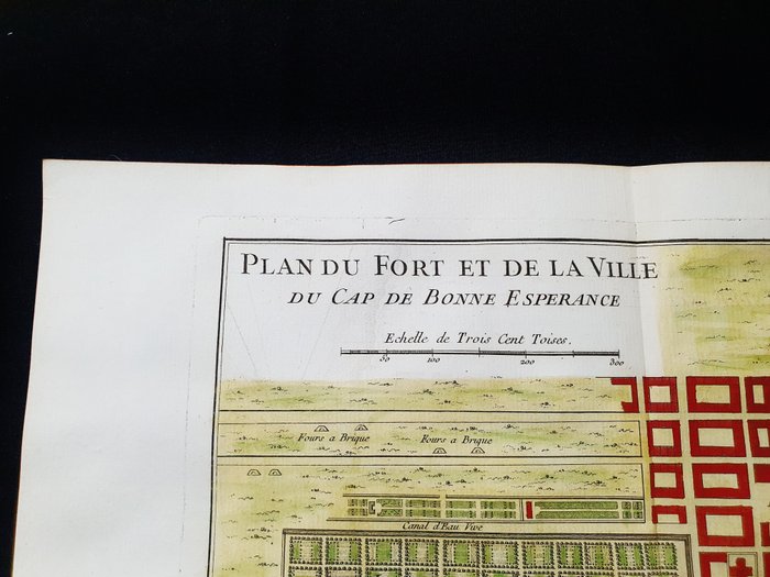
Map of Fort and the city of Cape of Good Hope, South Africa - 1747

20 EUR
Details
Date:
23/10/2024
Description from the seller
Map of Fort and the city of Cape of Good Hope, South Africa - 1747
Dette geografiske kort er et originalt kobberstik fra 1747 (1700-tallet). Dette er den nye og opdaterede udgave af BELLIN & PREVOST, udgivet mellem 1747 og 1788 ca. i hans Værk, der bærer Navnet: "HISTOIRE GENERALE DES VOYAGES....... AMSTERDAM, 1747". Smukt geografisk kort, udgivet i HOLLAND, med fremragende tusch og fantastisk akvarel, og i betragtning af udgivelsesåret, er det geografisk godt detaljeret på hvert punkt. Tilstand: tilstanden er virkelig meget, meget god, som vist på billederne. Kortets overordnede mål er: 39 x 29 cm
KORT
Amount: 1
Related products
Related products
Related products
Related products
Related products
Related products
Related products
Related products
Related products
Related products
Related products
Related products

