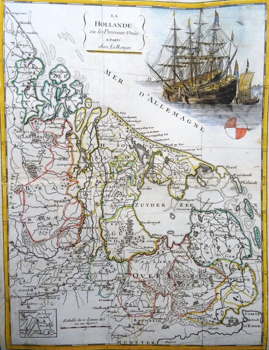
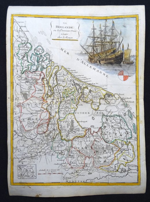
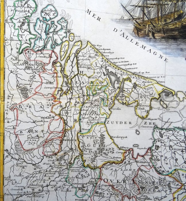
Holland - Holland, Holland, Zeeland, Friesland, Utrecht, Groningen, Gelderland, Overijssel - 7 provinser; G.L. Le Rouge - La Hollande ou les Provinces Unies - 1751-1760
Auction

Antique map of Holland, 1756

catawiki
1 EUR

Details

Date:
14/11/2024
Material:
Paper
Size:
19 x 28,5 cm

Description from the seller

Antique map of Holland, 1756

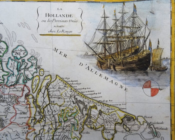
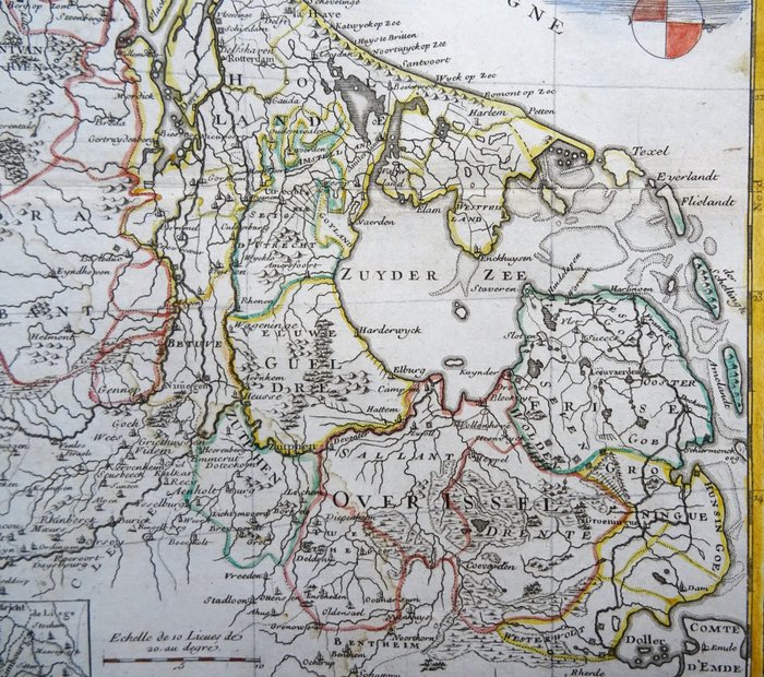
La Hollande ou les Provinces Unies (1756) Smukt gammeldags farvet kort over Holland eller De Forenede Provinser, orienteret mod nord til højre. Dekoreret med et billede af sejlskibe. Optrådte i "Atlas nouveau portatif a l'usage des Militaires et du Voyageur", af George Louis Le Rouge, udgivet i 1756 af Parigi, Prault, Robinot og Le Rouge. George-Louis Le Rouge (1712-1790) var en fransk kartograf, gravør og arkitekt i det 18. århundrede. Han arbejdede som geograf for kong Ludvig XV og udgav atlas, kort og kort over slag. Han krydsede Europa på hesteryg for at få de bedste mål og indsigt i lokale detaljer for løbende at forbedre sine kort. Billede 19x28,5cm, ark 24x34cm

Read more

This beautiful, coloured map from 1756 shows Holland, or the United Provinces, with north to the right. The maps are adorned with a picture of sailing ships. It comes from "Atlas nouveau portatif a l'usage des Militaires et du Voyageur" by George Louis Le Rouge, published in 1756 by Prault, Robinot and Le Rouge in Paris. Le Rouge was a well-known French cartographer, engraver and architect from the 18th century who worked as a geographer for King Louis XV.

Paper
KORT
Amount: 1
Size: 19 x 28,5 cm
Related productskoral Icon

Related products

catawiki