
Auction
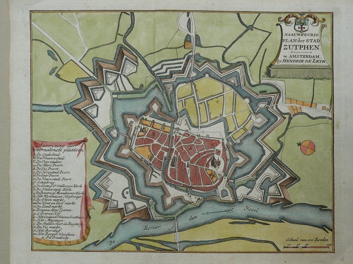
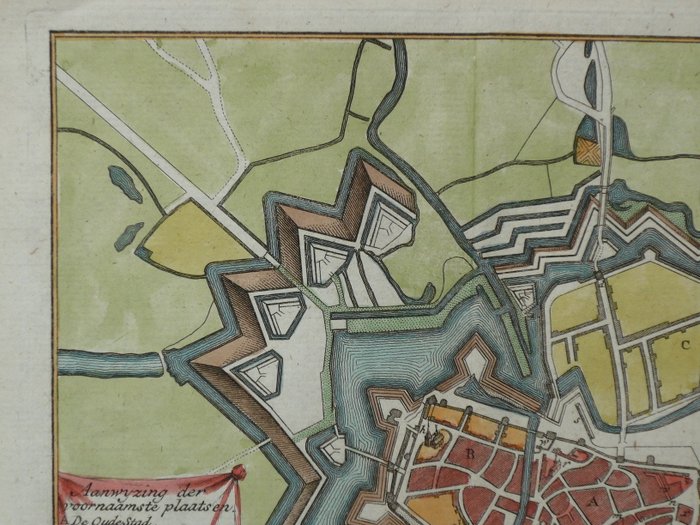
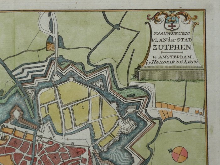
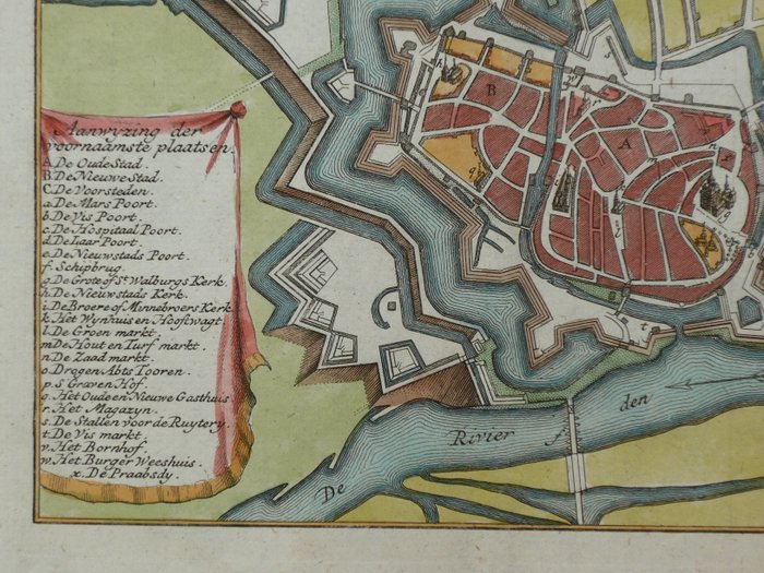
Historical map of Zutphen, 1740

1 EUR
Details
Date:
16/10/2024
Material:
Paper
Farve:
Red, Green, Brown
Description from the seller
Historical map of Zutphen, 1740
Mål: 17,5 x 22 cm. Kobberstik udgivet i H. de Leth, "New Geographical and Historical Atlas, van de Zeven Vereenigde Nederlandsche Provintien", Amsterdam, a.d. 1740. Folding som udgivet. Forsikret forsendelse.
Paper
KORT
Red
Green
Brown
Amount: 1
mål: 17,5 x 22 cm
Related products
Related products
Related products
Related products
Related products
Related products
Related products
Related products
Related products
Related products
Related products
Related products
