Auction
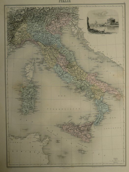
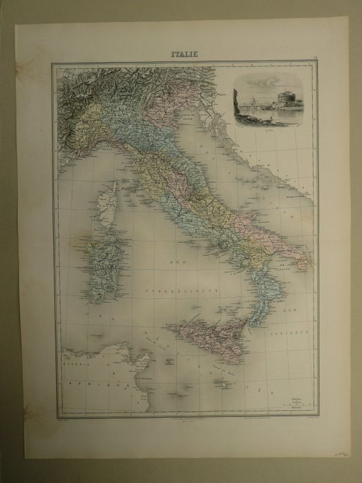
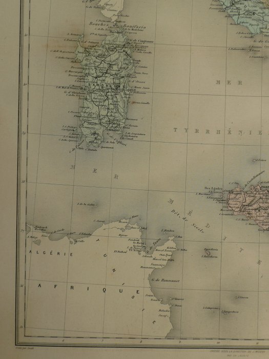
Map of Italy from the 19th century

1 EUR
Details
Date:
15/11/2024
Material:
Paper
Farve:
Beige, Green, Brown, White, Grey
Description from the seller
Map of Italy from the 19th century
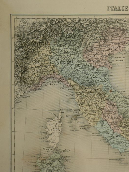
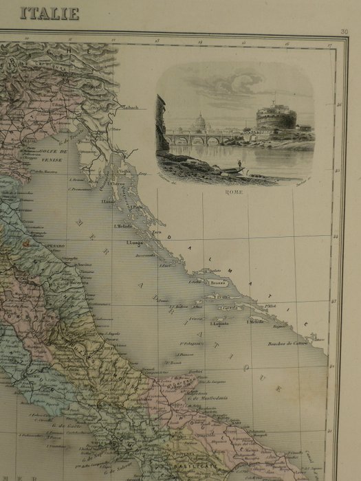
23 x 28 cm. 1800-tallets stålstikkort over Italien. Gammel farvet. Fold som offentliggjort. Stålgravering udgivet i; Geografi Universelle, Atlas Migeon historique, scientifique, industriel et commercial (..) Paris, 1872. 43 x 32 cm. Forsikret forsendelse.
Paper
KORT
Beige
Green
Brown
White
Grey
Amount: 1
mål: 23 x 28 cm
Related products
Related products
Related products
Related products
Related products
Related products
Related products
Related products
Related products
Related products
Related products
Related products
