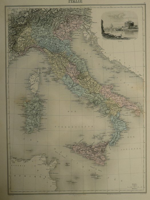
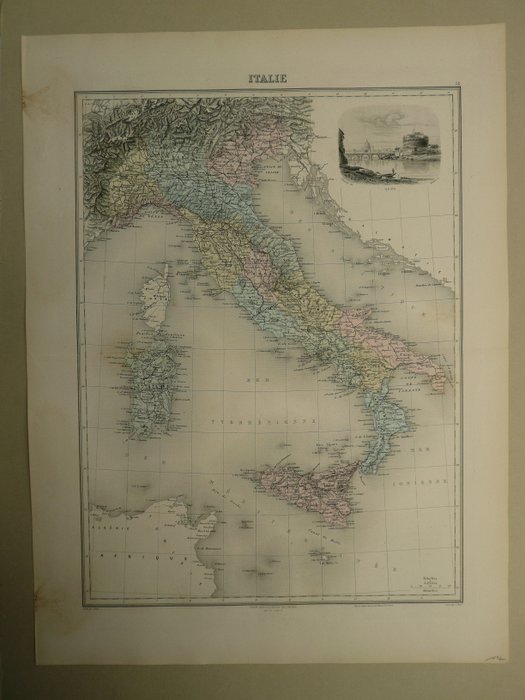
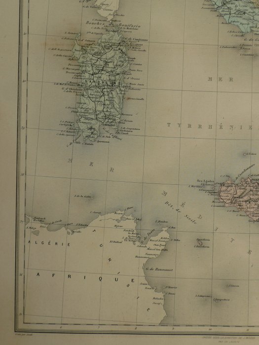
Italien - Sardegna / Sicilia / Malta / Roma; J. Migeon - Italie - 1781-1800
Auction

Map of Italy from the 19th century

catawiki
1 EUR

Details

Date:
15/11/2024
Material:
Paper
Farve:
Beige, Green, Brown, White, Grey

Description from the seller

Map of Italy from the 19th century

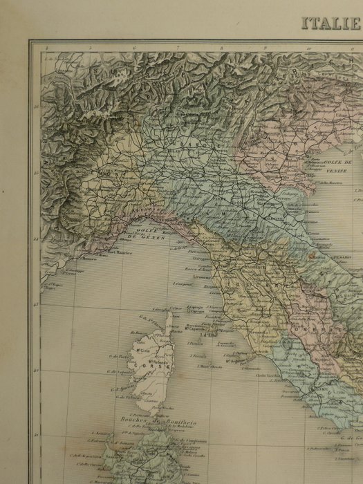
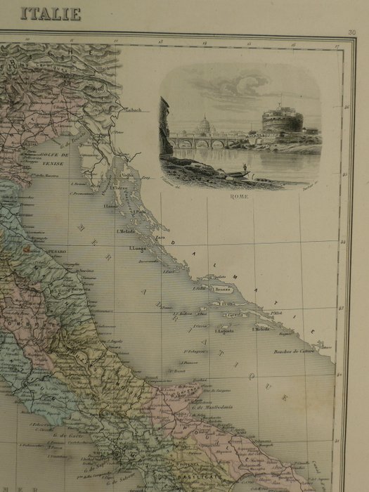
23 x 28 cm. 1800-tallets stålstikkort over Italien. Gammel farvet. Fold som offentliggjort. Stålgravering udgivet i; Geografi Universelle, Atlas Migeon historique, scientifique, industriel et commercial (..) Paris, 1872. 43 x 32 cm. Forsikret forsendelse.

Read more

This is an old steel engraving map of Italy from the 19th century. It shows Italy with Sardinia, Sicily and Malta, as well as cities such as Rome. The map is coloured and has a vintage charm. It is a good illustration of Italian geography in the 19th century and is perfect for a collection or to decorate a historical themed room. Please note that the map is folded as it was originally published.

Paper
KORT
Beige
Green
Brown
White
Grey
Amount: 1
mål: 23 x 28 cm
Related productskoral Icon

Related products

catawiki