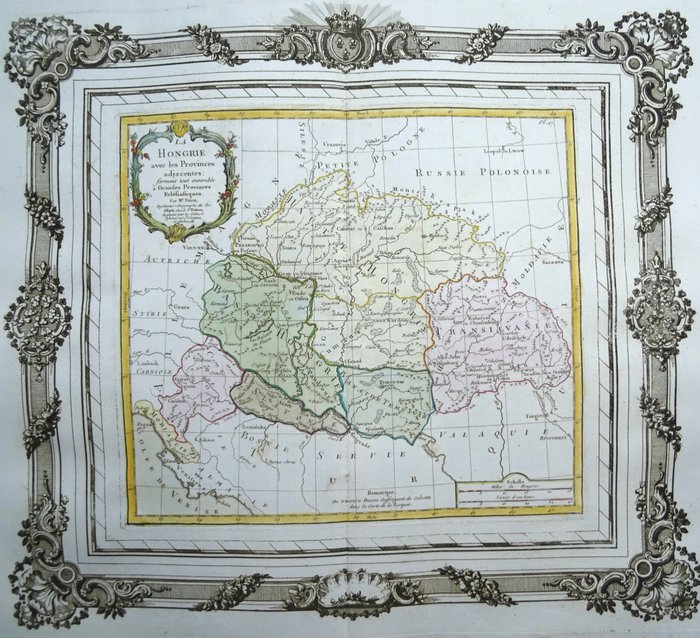
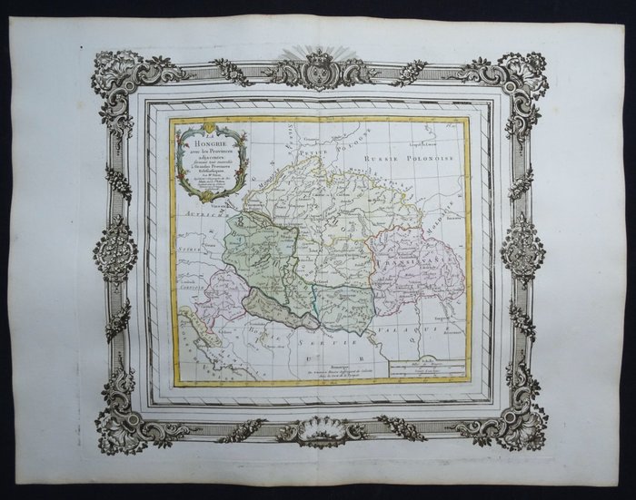
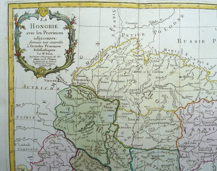
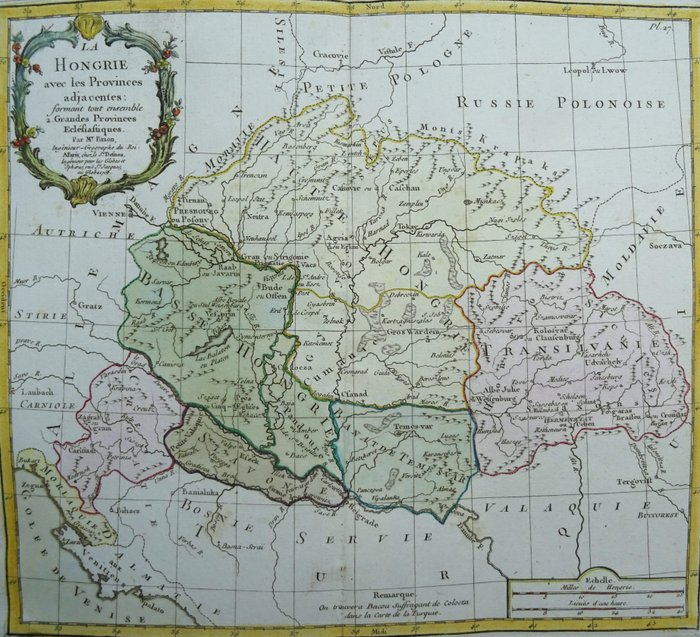
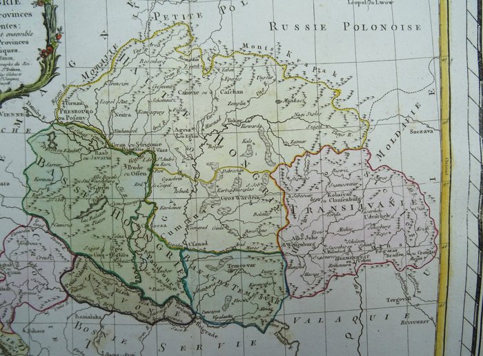
Europa - Ungarn, Rumænien, Kroatien...; L. C. Desnos / M. Brion - La Hongrie avec les Provinces adjacentes - 1761-1780
Auction

Map of Hungary from 1766

catawiki
56 EUR

Details

Name:
Europa - Ungarn, Rumænien, Kroatien...; L. C. Desnos / M. Brion - La Hongrie avec les Provinces adjacentes - 1761-1780
Date:
22/11/2024
Material:
Paper
Farve:
Red, Blue, Green, Brown, Black, White

Description from the seller

Map of Hungary from 1766

La Hongrie avec les Provinces adjacentes…… Par Mr. Brion, Ingr. Géographe du Roi. A Paris, Chez le Sr. Desnos, Ingénieur Géographe por. les Globes et Sphéres. ruë St. Jacques au Globe. 1766..”​ (dateret 1766, udgivet i 1767) Billede 35x39cm, ark 40x52,5 Foliostørrelseskort, lavet af Brion de la Tour, over Ungarn og de omkringliggende områder, der også dækker dele af det moderne Rumænien og Kroatien. Kortet er trykt i en dekorativ ramme og i original farve. Udgivet i 'Atlas général, civil et ecclésiastique, méthodique et élémentaire pour l'étude de la géographie et de l'histoire / Chez le sieur Desnos à Paris, 1767 Louis Brion De La Tour (fl. 1756-1803) Ud over det faktum, at Brion var ingeniør af profession og havde stillingen som Ingenieur-Geographe du Roi, er der kun lidt kendt om hans karriere. Han udgav en lang række statistiske værker og en række atlas, udgivet af den kendte franske kortmager Louis Charles Desnos (1725-1805). Fremragende stand. Tykt papir. Klart tryk. Original farvelægning. Rigelige marginer. Blank på bagsiden.

Read more

An old map of Hungary from 1766, printed by L. C. Desnos and M. Brion. The map shows surrounding provinces, including parts of modern Romania and Croatia. It is printed in color and has a decorative frame. An excellent copy in good condition.

Paper
KORT
Red
Blue
Green
Brown
Black
White
Amount: 1
mål: 35 x 39 cm
Related productskoral Icon

Related products

catawiki