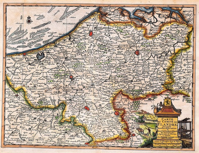
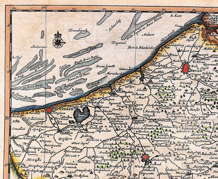
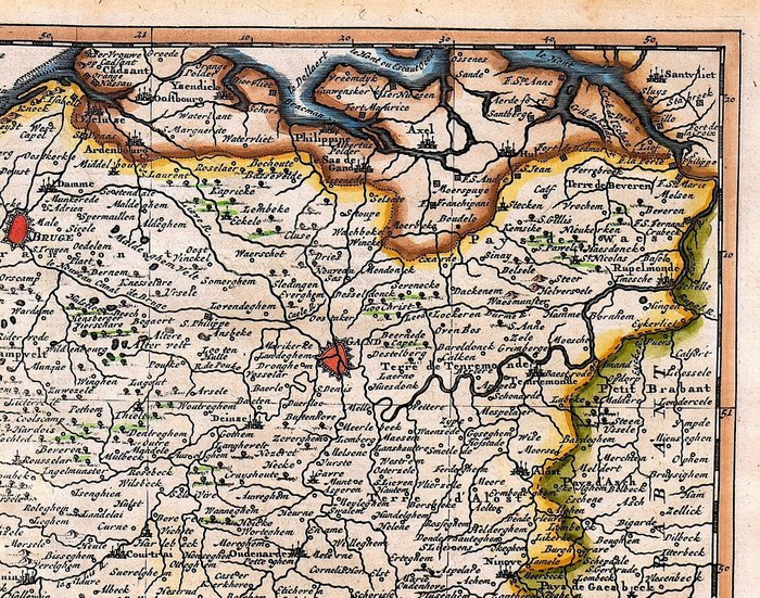
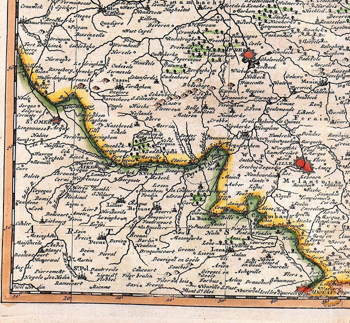
Europa - Belgien / Flandern; P. Van der Aa - Carte du Comte de Flandre - 1736
Auction

Map of the County of Flanders 1736

catawiki
1 EUR

Details

Date:
07/11/2024

Description from the seller

Map of the County of Flanders 1736

Mål: 22,5 x 30 cm. (på ark: 25 x 33,5 cm.) Stand: meget god Verso: blank. Forfatter: A. Du Bois Kortmager: P. Van der Aa Forlag: J. Vanden Kieboom / G. Block. Haag. Bemærk: fra "La Geographie Moderne"

Read more

An old map of the County of Flanders, published in 1736 by P. Van der Aa. The map depicts the political and geographical state of Flanders in the 18th century. A historical document with detailed landscapes and cities.

KORT
Amount: 1
mål: 22,5 x 30 cm
Related productskoral Icon

Related products

catawiki