Tyskland - Nordrhein-Westfalen, Niedersachsen; Le Rouge - La Westphalie - 1742
Auction

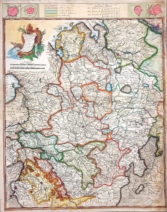
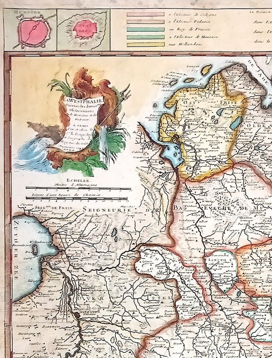
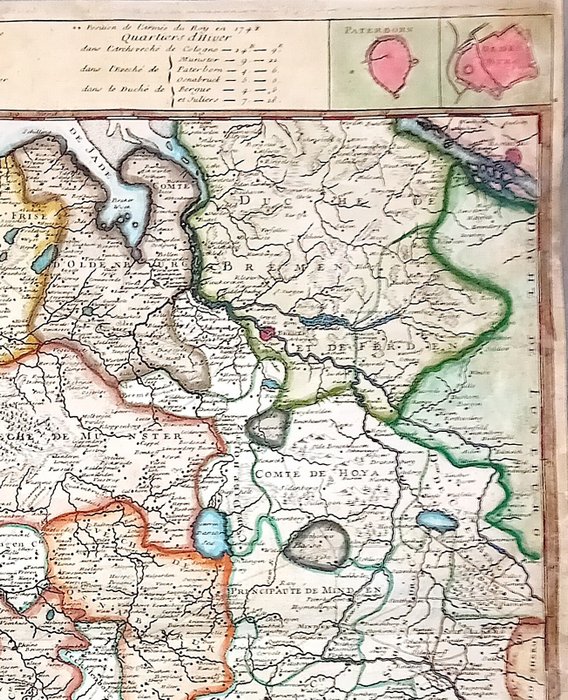
Historical map of Westphalia, 1742

refurbed
1 EUR

Details

Date:
27/09/2024
Material:
Paper
Farve:
Red, Green, Yellow, Orange, Brown

Description from the seller

Tyskland - Nordrhein-Westfalen, Niedersachsen; Le Rouge - La Westphalie - 1742

Mål: 50 x 62,5 cm. (på ark: 51 x 64,5 cm.). Tilstand: rimelig (professionelle restaureringer) Verso: blank. SJÆLDEN Kortmager: Le Rouge Forlag: Le Rouge. Paris

Read more

Rare historical map of Westphalia from 1742 by Le Rouge. Measures 50 x 62.5 cm (on sheet: 51 x 64.5 cm). The map displays detailed geography and political boundaries from the period. Professionally restored. Verso blank.

Paper
KORT
Red
Green
Yellow
Orange
Brown
Amount: 1
mål: 50 x 62,5 cm
Related productskoral Icon

Related products