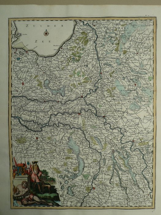
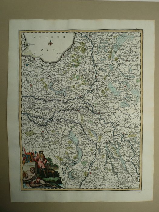
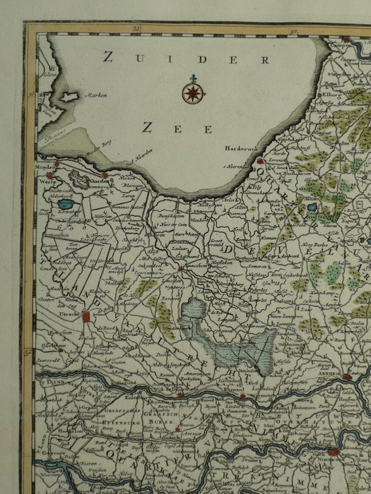
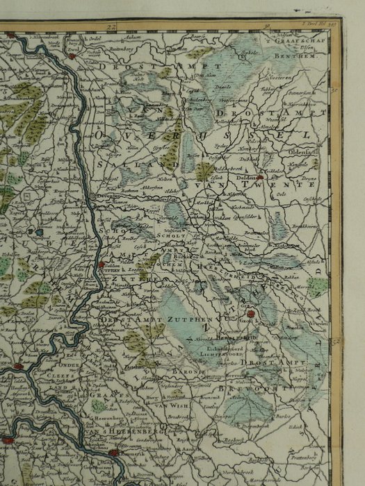
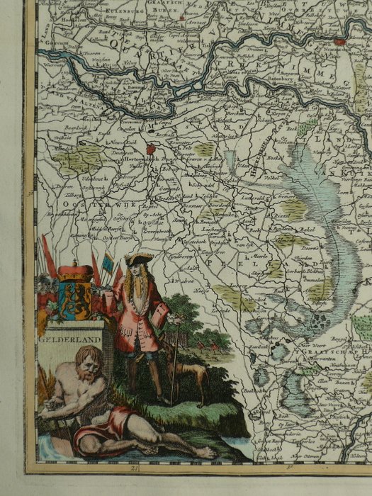
Holland - Gelderland; F. Halma. - Gelderland - 1701-1720
Auction

Map of Gelderland, Holland from 1725

catawiki
1 EUR

Details

Date:
06/11/2024
Material:
Paper
Size:
39 x 49 cm
Farve:
Green, Brown

Description from the seller

Map of Gelderland, Holland from 1725

Top: 39 x 49 cm. Kobberstik optrådte i; Scene fra Det Forenede Holland og tilhørende landskaber (...) Udgivet af Francois Halma. Leeuwarden 1725. Fold som udstedt. Verso blank. Forsikret forsendelse

Read more

This is an antique copperplate engraving of Gelderland, Holland, published in 1725 by Francois Halma. The map is part of a larger collection of maps of the United Netherlands and the surrounding areas. The original map measures 39 x 49 cm and was published in Leeuwarden. The map is printed on paper and in good condition for its age. 

Paper
KORT
Green
Brown
Amount: 1
Size: 39 x 49 cm
Related productskoral Icon

Related products

catawiki