Auction
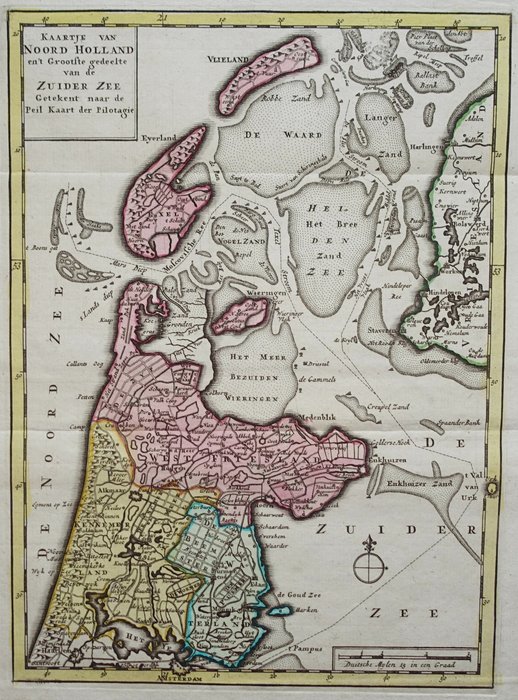
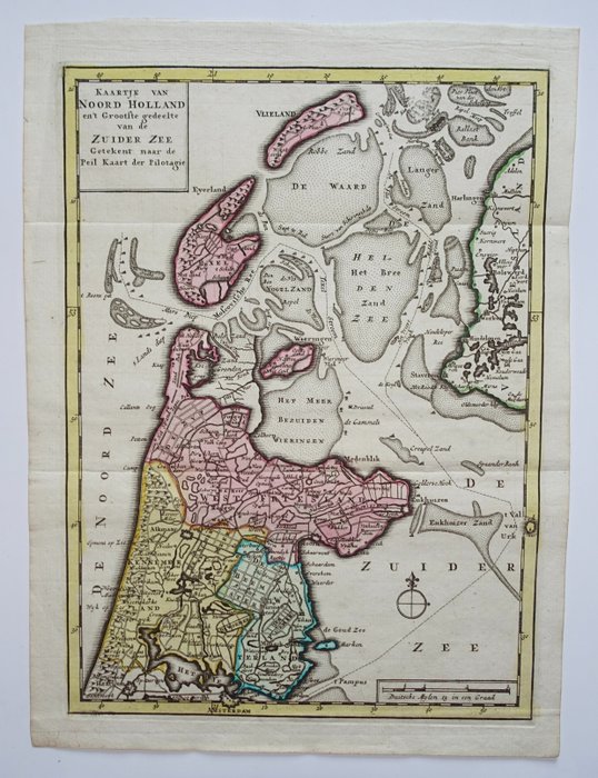
Map of North Holland and Zuiderzee, 1786

1 EUR
Details
Date:
16/10/2024
Material:
Paper
Farve:
Green, Brown
Description from the seller
Map of North Holland and Zuiderzee, 1786
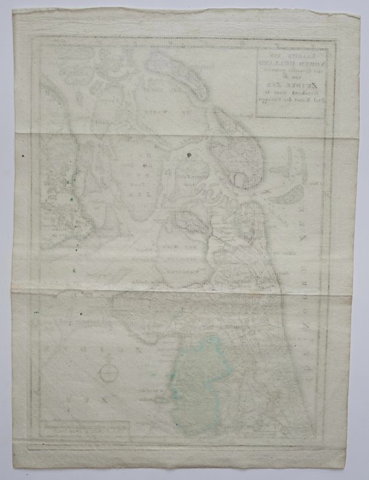
Brede marginer. Vandrette folder som udstedt. Verso: blank. Gammeldags farvet kobberstik, udgivet i 1786 i Amsterdam af Jan Barend Elwe og Dirk Meland Langeveld i 'Compleete Pocket-Atlas, of the Seventeen Dutch Provinces, (...).'
Paper
KORT
Green
Brown
Amount: 1
Related products
Related products
Related products
Related products
Related products
Related products
Related products
Related products
Related products
Related products
Related products
Related products
