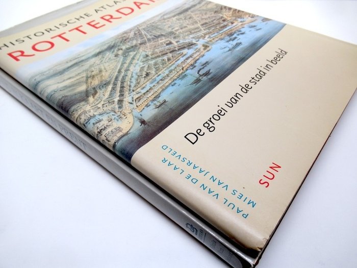
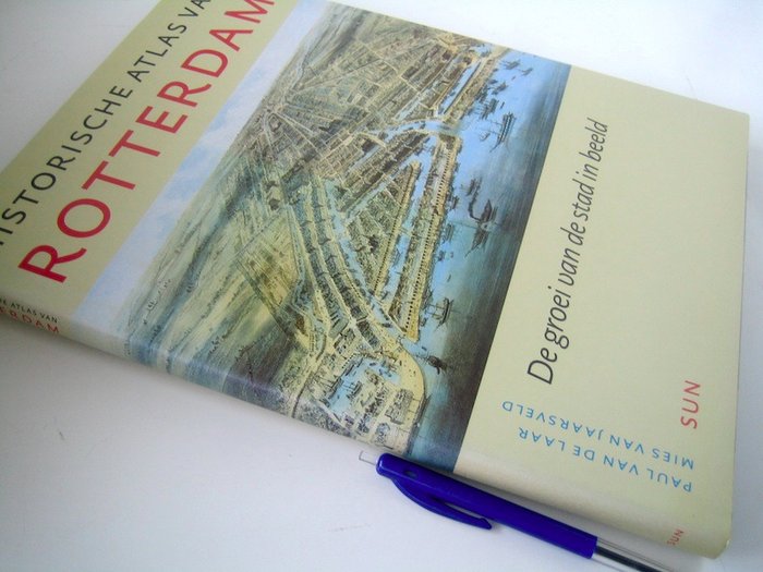
Holland - Rotterdam / Holland; Cornelisz. de Schilder, Jacob Van Deventer, Hendrik Haestens, Romeijn de Hooghe, e.v.a. - Historische Atlas van Rotterdam + 2 losse kaarten (Oud en Nieuw Rotterdam en Rotterdam Europoort) + - 1200-2000
Auction

Historical Atlas of Rotterdam

catawiki
10 EUR

Details

Date:
01/11/2024
Material:
Paper

Description from the seller

Historical Atlas of Rotterdam

1 - Historisk Atlas of Rotterdam, Byens vækst i billeder - Paul van de Laar, Mies van Jaarsveld - Amsterdam, Forlag SUN 2004 - 79 s. - linnedindbundet, med smudsomslag - 34 x 26 cm. Stand: i meget god stand. Indeholder 2 løse kort (og nogle udklip): - Kort over Gamle og Nye Rotterdam, som det var i 1940, som det er i dag (1955) - udgave: Gemeentewerken Rotterdam afd. Kartografi, 1955 - plan: 53 x 51 cm - foldet til 26 x 18 cm. - Rotterdam Europoort - udgave: Gemeentewerken Rotterdam Cartography Department, 1968 - blank: 24 x 67 cm. 2- Holland i kort og tryk - J.E. Frugthave - Weesp, Fibula-Van Dishoeck / Lannoo, Tielt, 1984 - 144 pp - linned indbundet, med smudsomslag - 39 x 30,5 cm. Tekst på hollandsk, engelsk og tysk. Komplet med tilhørende løs faksimilegravering "The Hague - Het Binnenhof, Joan Blaeu 1649" - planstørrelse: 38 x 52 cm, foldet til: 38 x 26 cm. Stand: i meget god stand. (i alt 2 vægt: 3,2 kg)

Read more

A detailed historical atlas of Rotterdam with illustrations and maps showing the city's growth from the 13th century to the present day. The book contains two loose maps of Old and New Rotterdam and Rotterdam Europoort.

Paper
BOG
Amount: 1
mål: 34 x 26 cm, 39 x 30,5 cm, 53 x 51 cm, 26 x 18 cm, 24 x 67 cm, 38 x 52 cm, 38 x 26 cm
Related productskoral Icon

Related products

catawiki