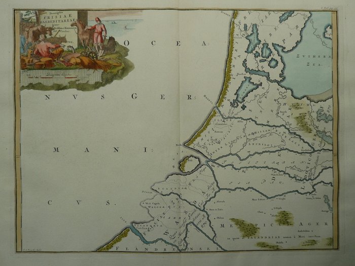
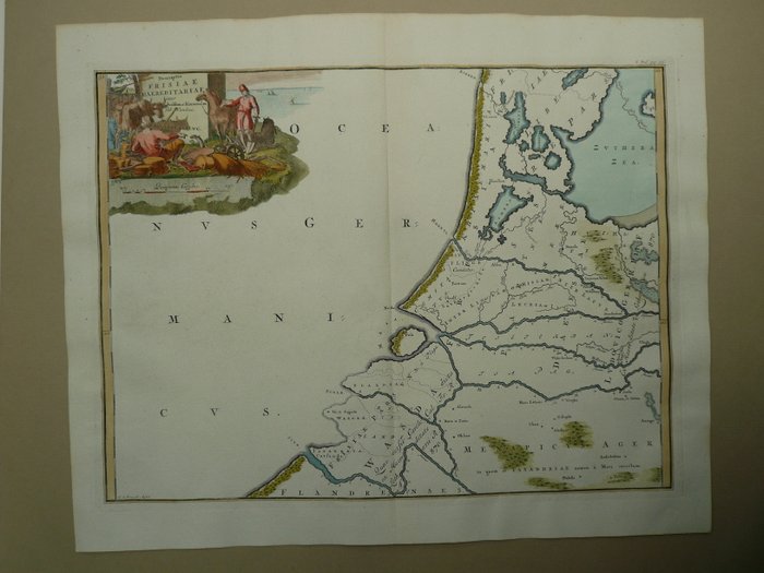
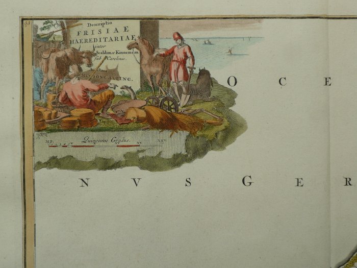
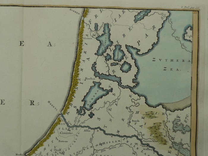
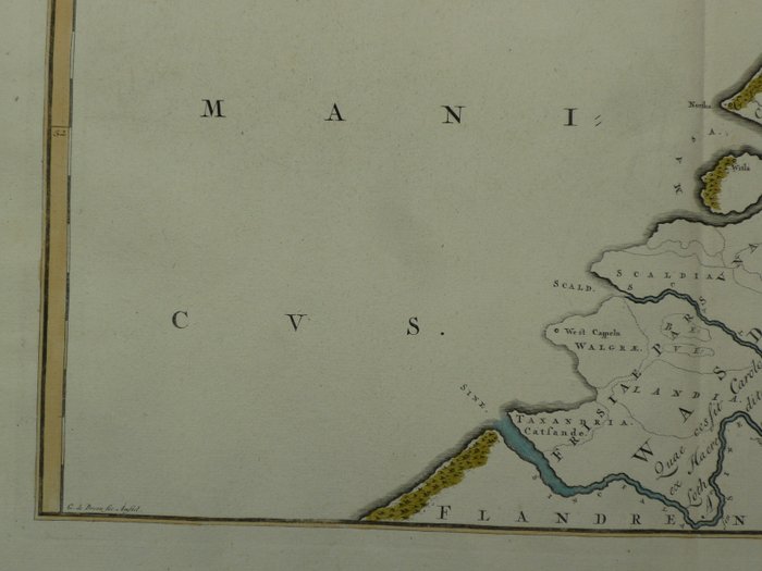
Holland - Holland, Zeeland; Mensone Alting. / F. Halma. - Descriptio Frisiae Haereditariae inter scaldim (...) - 1701-1720
Auction

Historical map of Holland

catawiki
1 EUR

Details

Date:
06/11/2024
Size:
39 x 48 cm

Description from the seller

Historical map of Holland

Top: 39 x 48 cm.. Kobberstik udgivet i en serie af syv historiske kort over Holland. Udgivet af Mensone Alting 1718. Fold som udgivet. Forsikret forsendelse

Read more

Copperplate engraving of a historical map of Holland, Zeeland, and Friesland from 1718. The maps, printed in a set of seven, were issued by Mensone Alting. Published by J.F. Halma, the maps show parts of the Dutch region with details from the time, such as waterways, cities, and exchange boundaries.

KORT
Amount: 1
Size: 39 x 48 cm
Related productskoral Icon

Related products

catawiki