Auction
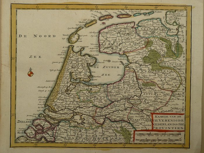
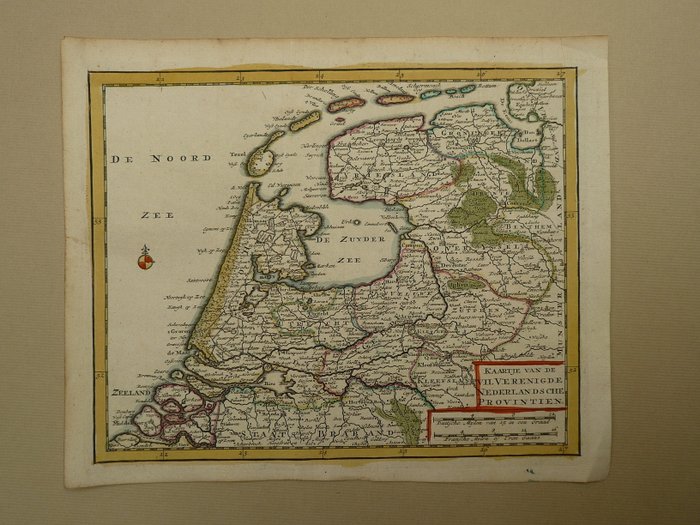
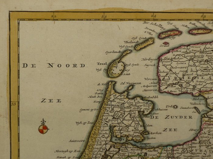
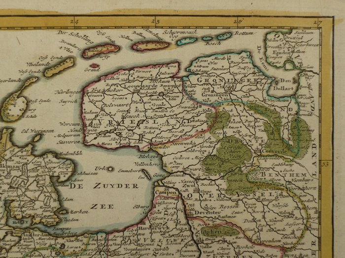
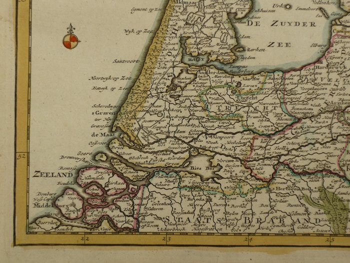
Dutch map of the Seven United Provinces, 1740

0 EUR
Details
Date:
16/10/2024
Material:
Paper
Farve:
Brown
Description from the seller
Dutch map of the Seven United Provinces, 1740
Størrelse: 18 x 22,5 cm. Kobberstik udgivet i H. de Leth, "New Geographical and Historical Atlas, of the Seven United Dutch Provinces", Amsterdam, 1740. Verso blank. Gammel farve. Fold som brugt. Forsendelse: forsikret.
Paper
KORT
Brown
Amount: 1
mål: 18 x 22,5 cm
Related products
Related products
Related products
Related products
Related products
Related products
Related products
Related products
Related products
Related products
Related products
Related products
