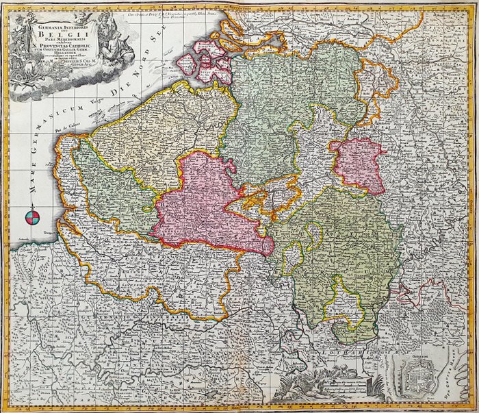
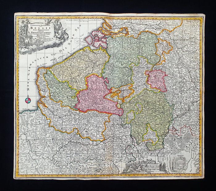
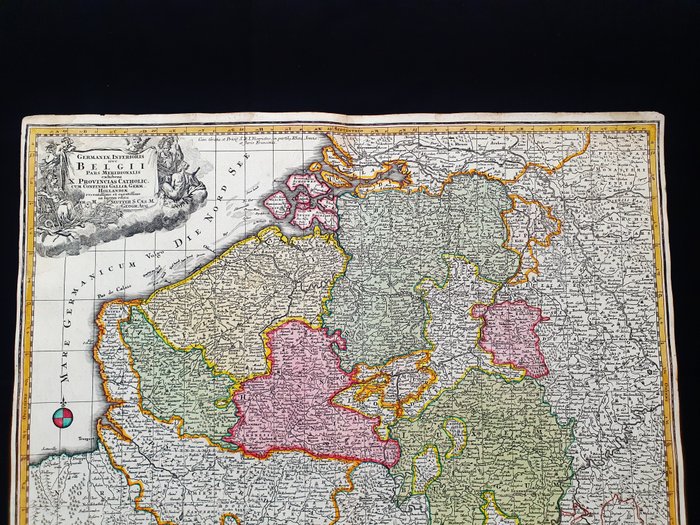
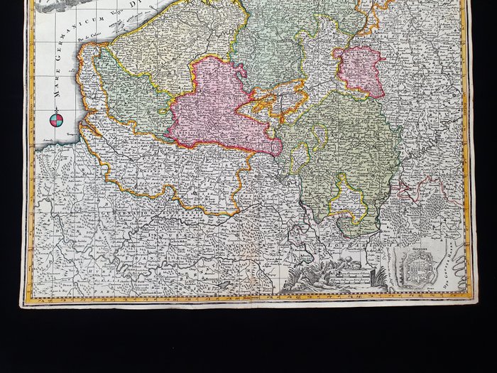
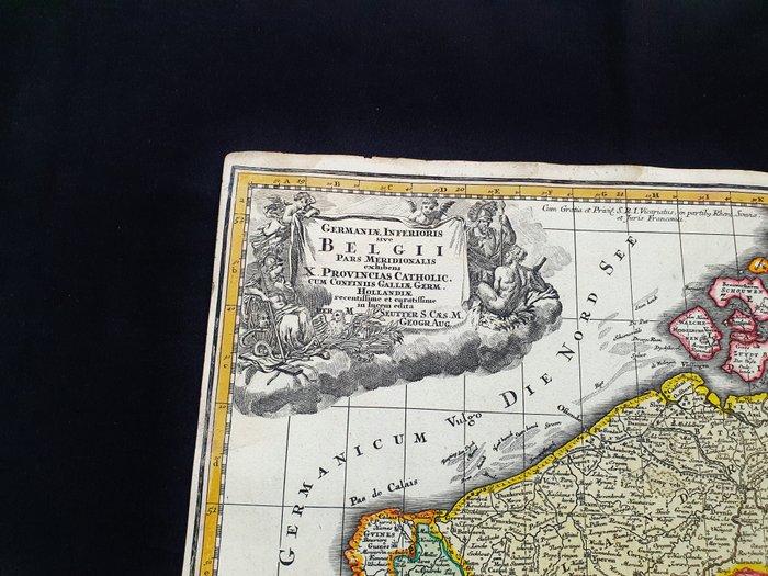
Antique map of Holland and Belgium from 1735

Details
Description from the seller
Antique map of Holland and Belgium from 1735
- Dette geografiske kort er et originalt kobberstik fra omkring 1735 (XVIII. årh.). - Dette er den meget sjældne udgave af MATTHAUS SEUTTER, udgivet i 1735 i hans Atlas, som bærer navnet: "Atlas novus sive Tabulae geographicae totius Orbis faciem, partes, imperia, regna et provinciales exhibentes exactissima cura iuxta recent observationae Matthaeus Atlas Worinnen enthalten alle jenige geographische Universal Special und Particular-Mappen......AUGSBURG, 1735" - Stort kort i Elephant-FOLIO, udgivet i TYSKLAND, med fremragende originalfarvning, brede marginer og geografisk godt detaljeret på hvert punkt. - Forhold: forholdene er gode, som vist på billederne, med tilstedeværelsen af nogle meget lette og harmløse spor af alderdom på grund af dens alder; Der er dog også en let og gammel glorie tilføjet til de øverste hjørner, uden at gå på kompromis med dens skønhed og absolutte sjældenhed. - Kortets overordnede mål er: 60 x 52 cm

