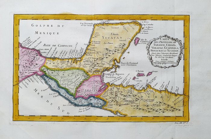
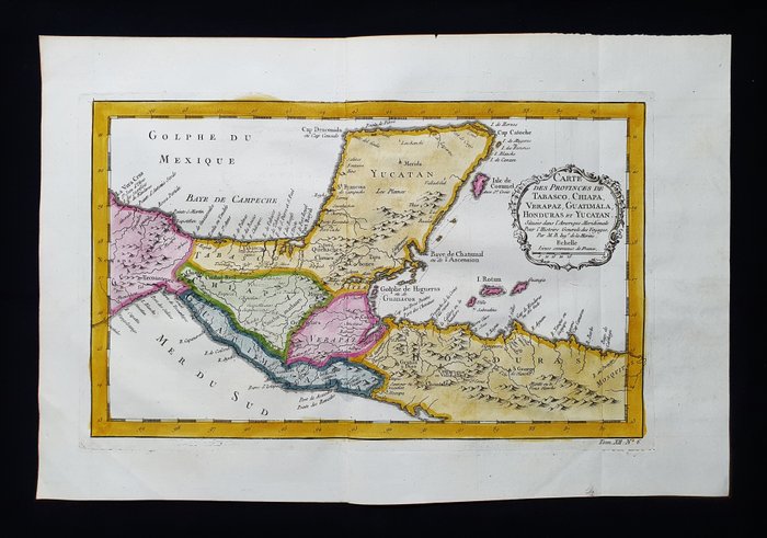
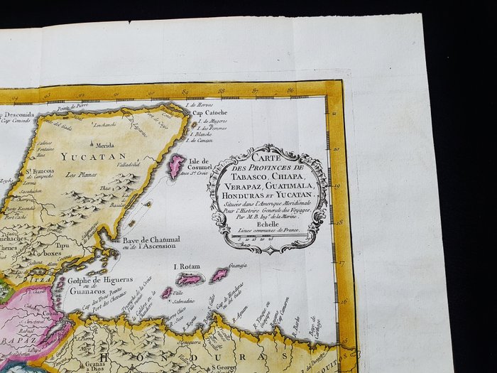
America - Mexico / Mellemamerika / Panama / Veracruz / Belize; La Haye, P. de Hondt / J.N. Bellin / A.F. Prevost - Carte des Provinces de Tabasco, Chiapa, Verapaz, Guatemala, Honduras, et Yucatan - 1721-1750
Auction

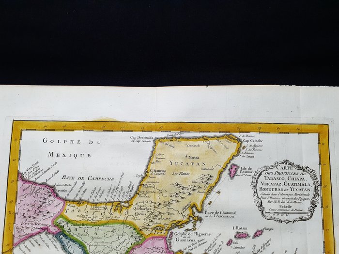
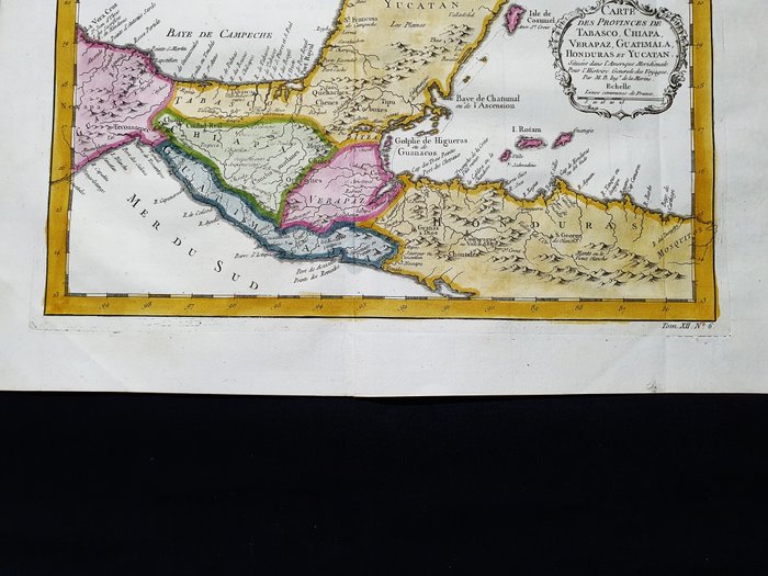
Map of Tabasco, Chiapa, Verapaz, Guatemala, Honduras and Yucatan

catawiki
15 EUR

Details

Date:
14/11/2024
Material:
Paper
Size:
43 x 30 cm

Description from the seller

Map of Tabasco, Chiapa, Verapaz, Guatemala, Honduras and Yucatan

Dette geografiske kort er et originalt kobberstik fra 1747 (1700-tallet). Dette er den nye og opdaterede udgave af BELLIN & PREVOST, udgivet mellem 1747 og 1788 ca. i hans sjældne værk, der bærer navnet: "HISTOIRE GENERALE DES VOYAGES....... AMSTERDAM, 1747". Smukt kort/geografisk visning, udgivet i HOLLAND, med fremragende tusch og fantastisk akvarel, og i betragtning af udgivelsesåret, er det geografisk godt detaljeret på hvert punkt. Forhold: forholdene er mere end gode som vist på billederne. Kortets overordnede mål er: 43 x 30 cm

Read more

This geographical map is an original copperplate engraving from 1747 (18th century). This is the new and updated edition of BELLIN & PREVOST, published between 1747 and 1788 ca. in his rare work, which bears the name: "HISTOIRE GENERALE DES VOYAGES....... AMSTERDAM, 1747". Beautiful map/geographical display, published in HOLLAND, with excellent pen and ink and fantastic watercolour, and considering the year of publication, it is geographically well detailed in every point. Condition: the condition is more than good as shown in the pictures. The overall measurements of the map are: 43 x 30 cm

Paper
KORT
Amount: 1
Size: 43 x 30 cm
Related productskoral Icon

Related products

catawiki