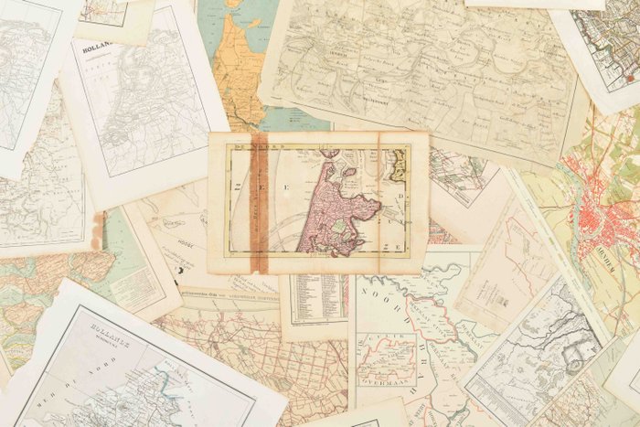
Collection of 54 historic maps of Holland

Details
Description from the seller
Collection of 54 historic maps of Holland
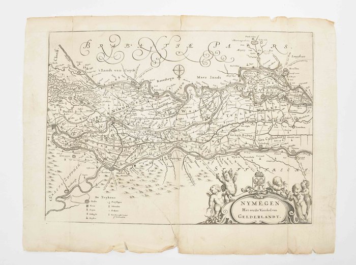
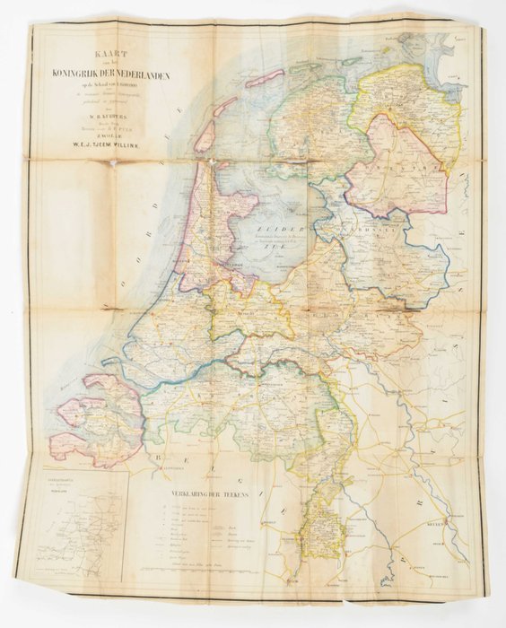
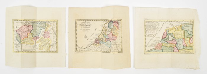
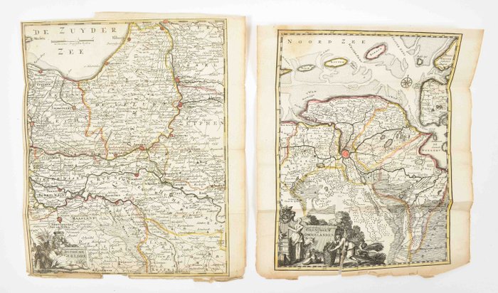
Samling af 54 kort over Holland. Fra 1654 til begyndelsen af det 20. århundrede. Varieret samling, omfatter bl.a.: - Nymegen, Het eerste Vierdeel van Gelderlandt. Kobbergraveret kort af Jacob van Biesen, 1654. 25 x 35 cm. Enkelte rifter og skader i margen. Fair kopi. - 8 indgraverede kort over egne i Holland af H. de Leth, 1740. Alle håndkolorerede. Under varierende forhold. Nogle med revner, folder, skader i margen. - Kort af Koningrijk der Nederlanden. Litografisk kort af W.B. Kuijpers. 3. udgave. 46 x 58 cm. Dårlig kopi. - Carte de la Hollande ou sont les environs de Nimegue... Kobbergraveret kort af Gilles Robert de Vaugondy, 1748. 17 x 18 cm. - Geographische tafel der Midden-Eeuwe van Holland, Zeeland og Vriesland. Af H. Klockhoff, ca. 1775. 21 x 26 cm. - Kort over Breda og omegn, af Ministerie van Oorlog, ca. 1890. Ufuldstændigt, dårligt eksemplar. - Markisatet og planen for Bergen op Zoom, med den franske lejr og angreb. Af en ingeniør, 1747. 20 x 20 cm. Ufuldstændig, mangler 1/3, rift, lidt marginalt brug. Og 40 andre


