Belgien - Flandern Ypres Dixmuide Kortrijk Oudenaarde Gent Lille; Nicolaes Visscher - Flandriae comitatus pars media  - 1681-1700
Auction

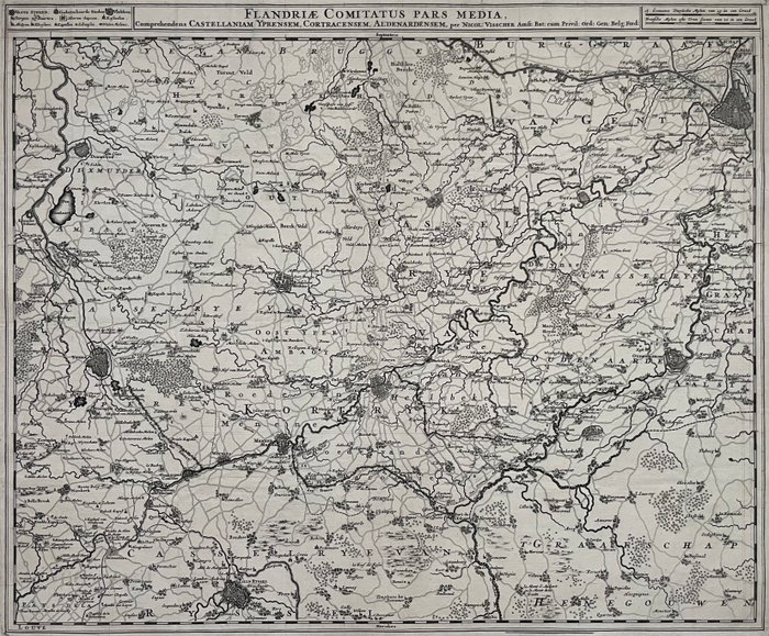
Flanders Map - Nicolaes Visscher

refurbed
1 EUR

Details

Date:
13/09/2024
Material:
Paper
Size:
47,5 x 57 cm
Farve:
Grey

Description from the seller

Belgien - Flandern Ypres Dixmuide Kortrijk Oudenaarde Gent Lille; Nicolaes Visscher - Flandriae comitatus pars media - 1681-1700

Fuld titel øverst: 'Flandriae comitatus pars media, comprehendens Castellaniam Yprensem, Cortracensem, Aldenardensem', med forlagets navn: 'per Nicol. Visscher, Amst.Bat. ... ". Udgave: 1689. Øverst venstre legende, øverste højre to milepæle. Rigtig god stand, helside 49,2x60,8 cm. med fulde smalle marginer, billedstørrelse 47,5x57 cm., på kraftigt håndlavet papir, midterfold, hvormed det blev udgivet fladtrykt, ikke farvet, verso blank.

Read more

This antique map, engraved by Nicolaes Visscher, depicts the region of Flanders in the Netherlands. The map features detailed geographic information, including rivers, towns, and roads. It also shows castle locations and administrative divisions, offering insight into the historical boundaries of the region. The map is titled "Flandriae comitatus pars media, comprehendens Castellaniam Yprensem, Cortracensem, Aldenardensem" which translates to "Middle part of the County of Flanders, including the Lordship of Ypres, Courtrai, Oudenaarde". This map would be an excellent addition to any historical collection or study of European geography.

Paper
KORT
Grey
Amount: 1
Size: 47,5 x 57 cm
mål: 49,2 x 60,8 cm
Related productskoral Icon

Related products