Auktion
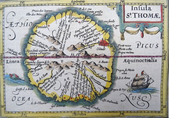
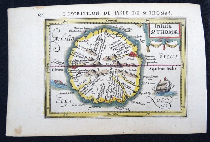
Karte von São Tomé aus dem Jahr 1618

1 EUR
Details
Datum:
06/11/2024
Größe:
9,5 x 13,5 cm
Beschreibung vom Verkäufer
Karte von São Tomé aus dem Jahr 1618
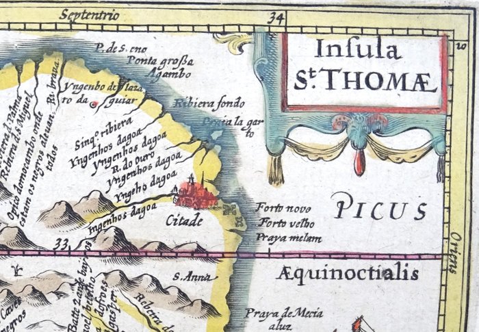
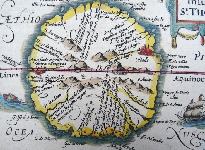
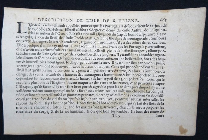
Insula St. Thomae (1618) Et dejligt originalt kort over øen Sao Tomé i det vestlige Afrika. Kort oprindeligt lavet af Barend Langenes og udgivet af J. Hondius i Amsterdam i 1618 i en fransk udgave af 'Géographie raccourcie par Pierre BERTIUS' med tekst fra Petrus Bertius. Billede 9,5 x 13,5 cm på side af 12,5 x 19,5 cm Meget god stand. Original håndfarvning (meget sjælden, kun få eksemplarer blev solgt med håndfarvning). Aldrig foldet. Tekst på bagsiden på fransk.
KORT
Menge: 1
Größe: 9,5 x 13,5 cm
Ähnliche Produkte
Ähnliche Produkte
Ähnliche Produkte
Ähnliche Produkte
Ähnliche Produkte
Ähnliche Produkte
Ähnliche Produkte
Ähnliche Produkte
Ähnliche Produkte
Ähnliche Produkte
Ähnliche Produkte
Ähnliche Produkte

